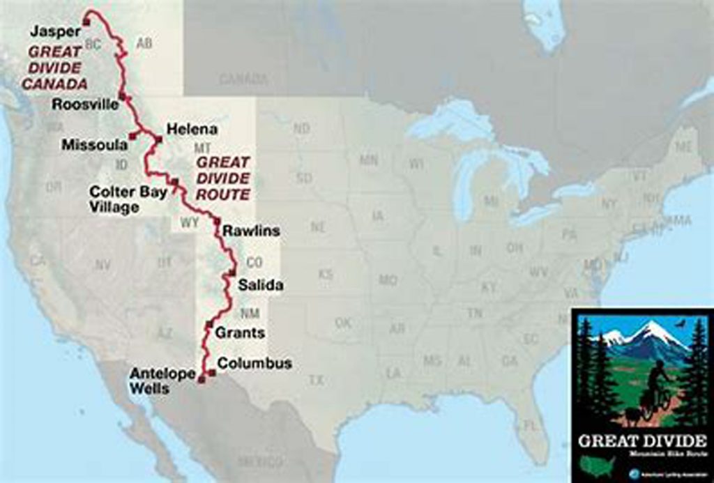
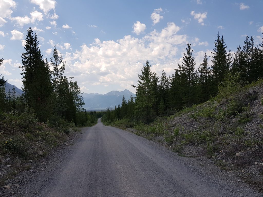
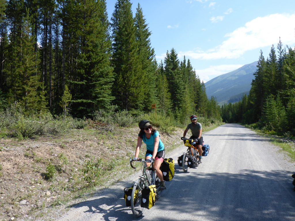
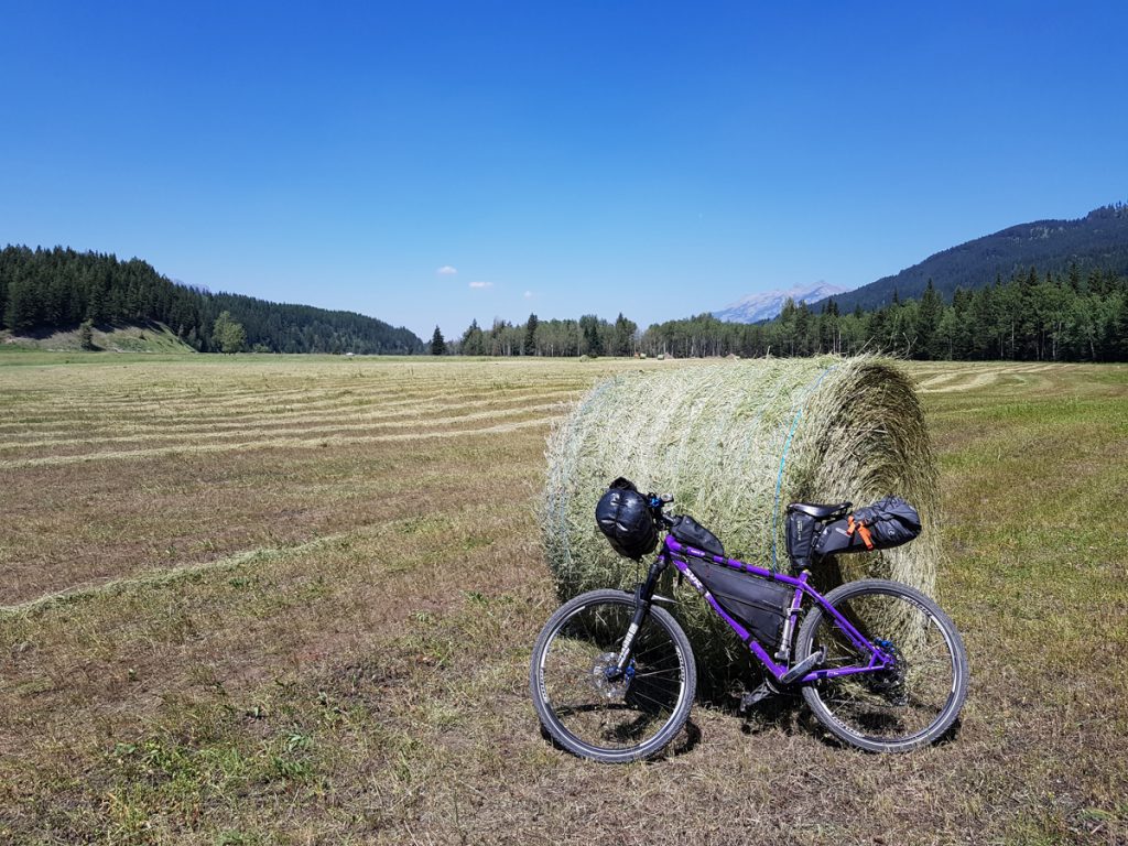
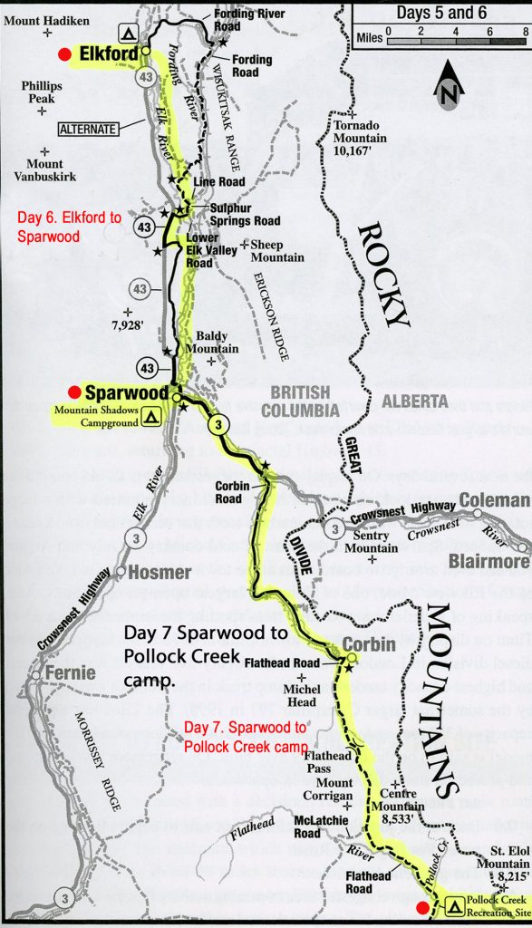
Part of the Great Divide cycle route, from Banff to Whitefish Montana, July 2018. All scanned maps are the property of Adventure Cycling Association, who I offer thanks for allowing me to use.
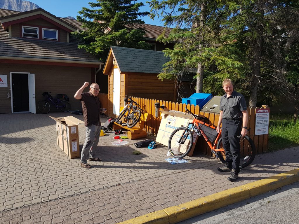
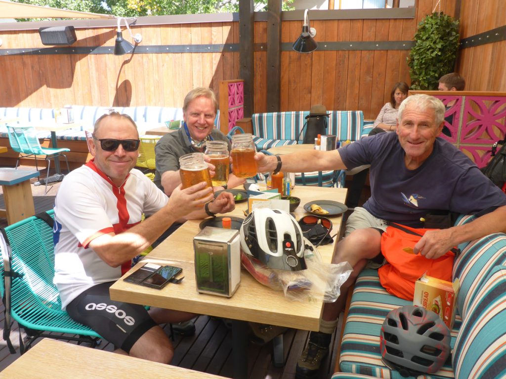
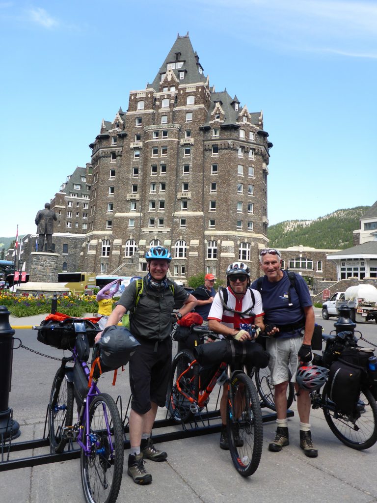
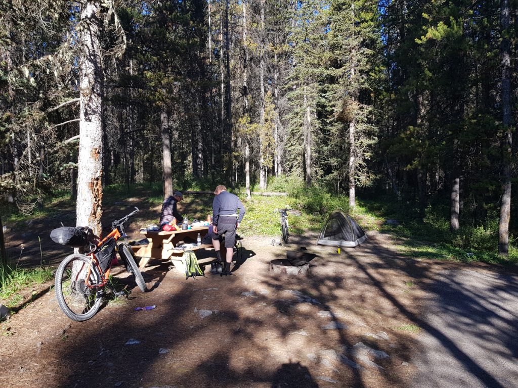
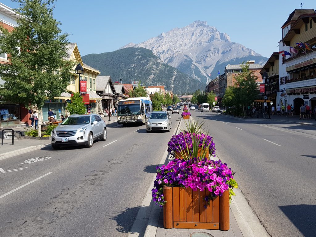
We only had a couple of weeks to explore the start of this magnificent cycle journey. Flying withWestJet via Glasgow to Calgary, Alberta, with a short stopover in Halifax. In a single day, this allowed us to travel on arrival with Calgary to Banff shuttle, in daylight, door to door. A bed for the night was HI Banff Alpine Centre. The next day, bikes were assembled, last minute purchases and a few beers, before an afternoon setting off to Spray Lakes West campground. Our departure could have been halted, if England had progressed in the football world cup!
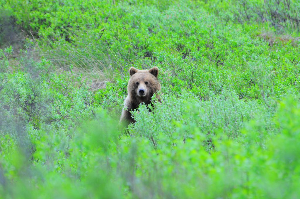
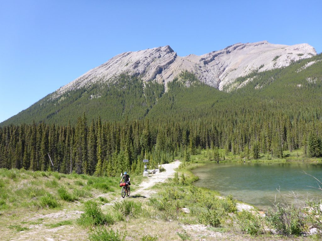
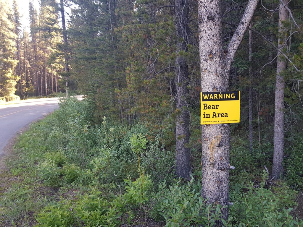
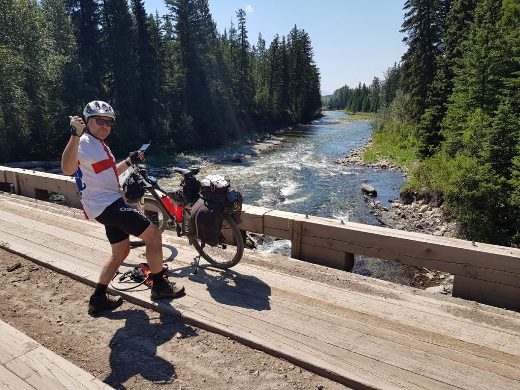
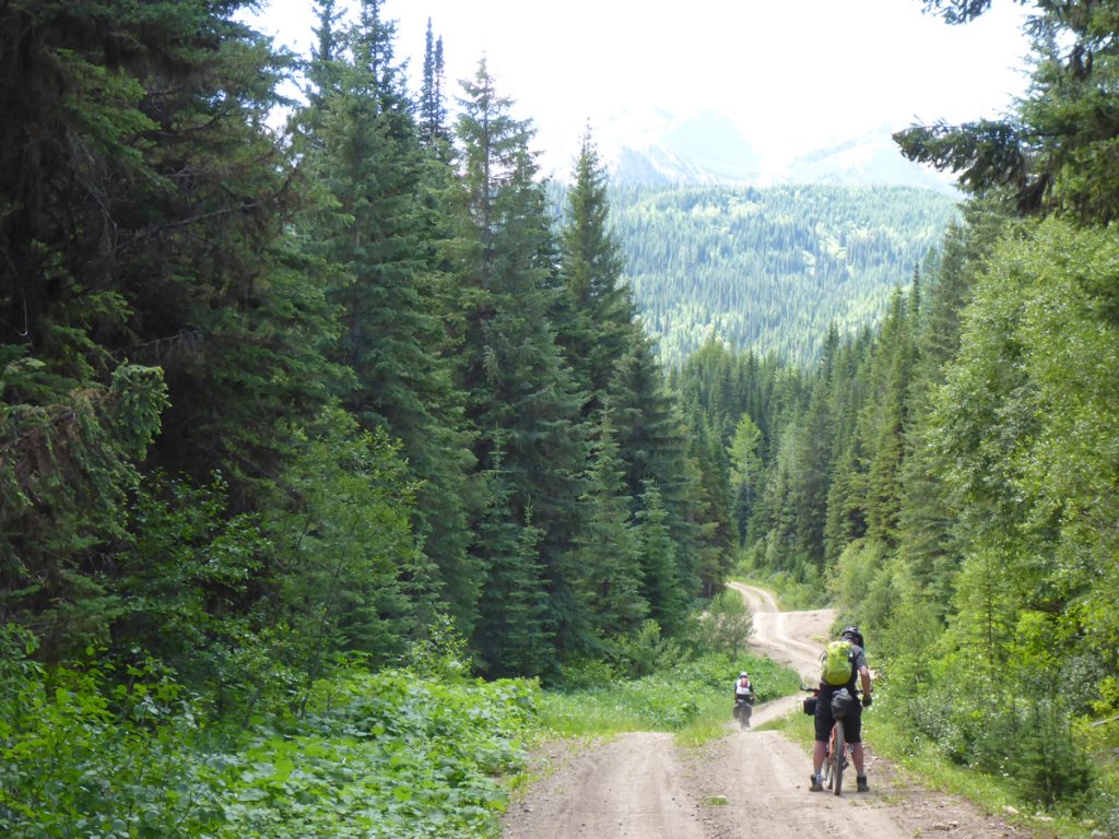
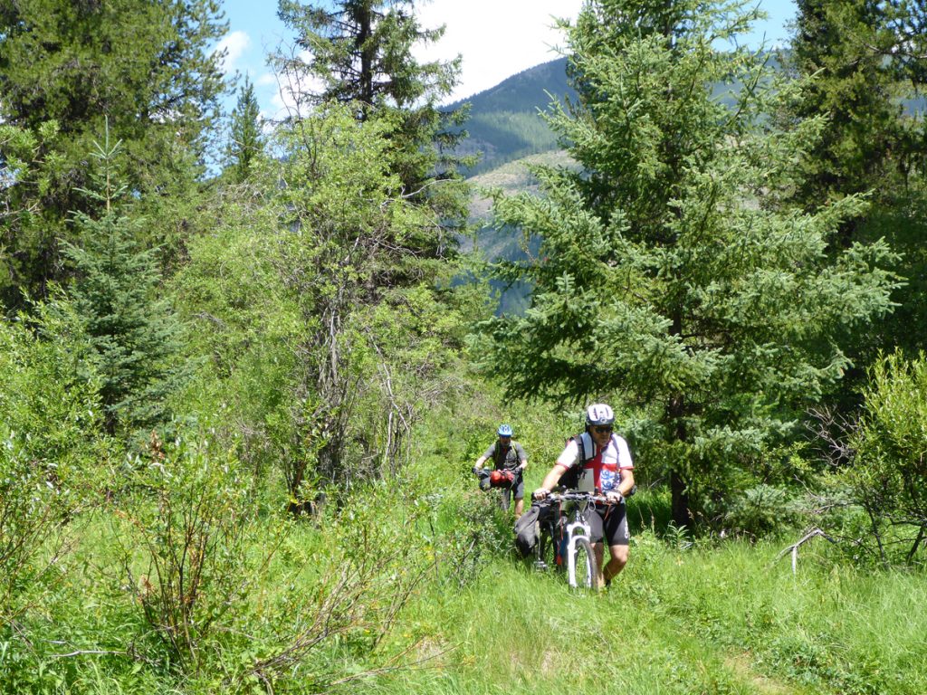
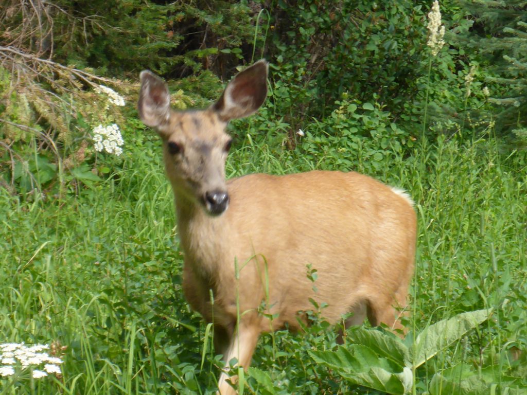
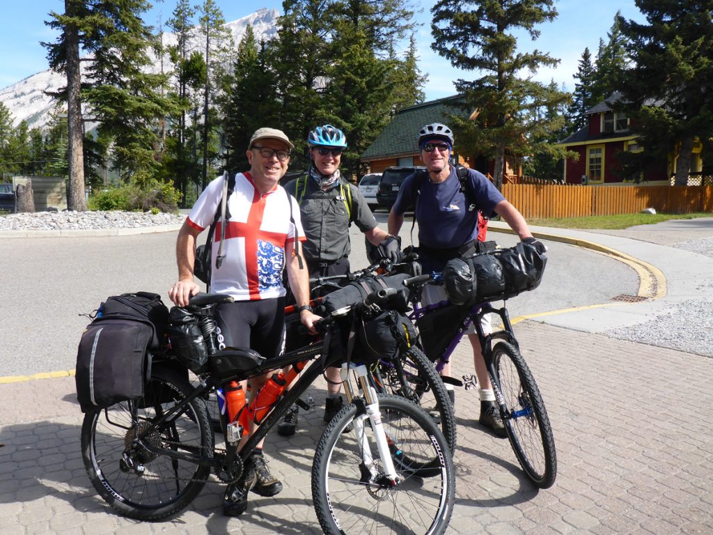
‘Us’ by the way were Dave and Richard. Dave, mostly in front with yours truly often at the rear, contemplating life in general, great weather, magnificent scenery and furry creatures with four legs, sharp claws and teeth, in particular. The hostel had kindly loaned the three of us Bear spray, as they have plenty left behind by guests, flying out. I lost mine on the first day, and it was on the first day, that we saw the only two Bear of the whole trip. One a Grizzly and the other one Black! A moderate afternoon journey to Spray Lakes West campground
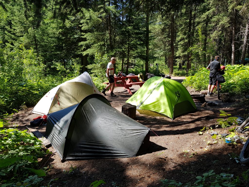
Day 1: Banff to Spray Lake West campground 21 miles
Guide to the Divide” href=”https://www.alankimber.com/wp-content/uploads/2020/03/guidebook-661×1024.jpg” class=”galleryblock_image”>
Guide to the Divide” title=”Guide to the Divide” src=”https://www.alankimber.com/wp-content/uploads/2020/03/guidebook-661×1024.jpg” width=”661″ height=”1024″ />
Guide to the Divide
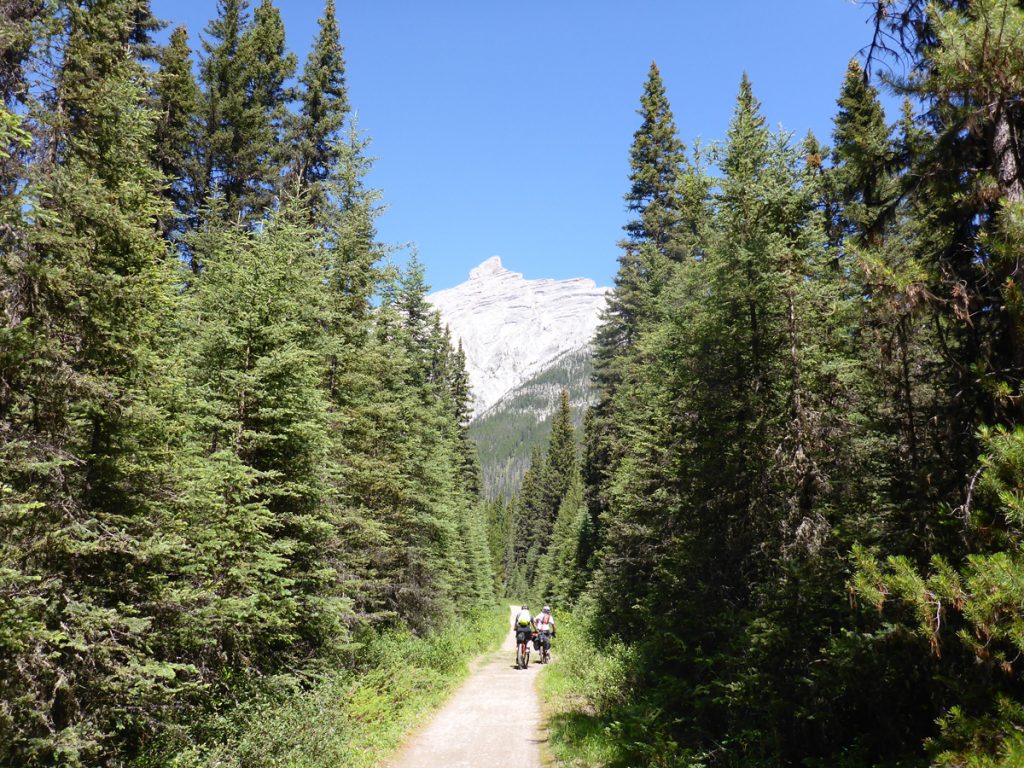
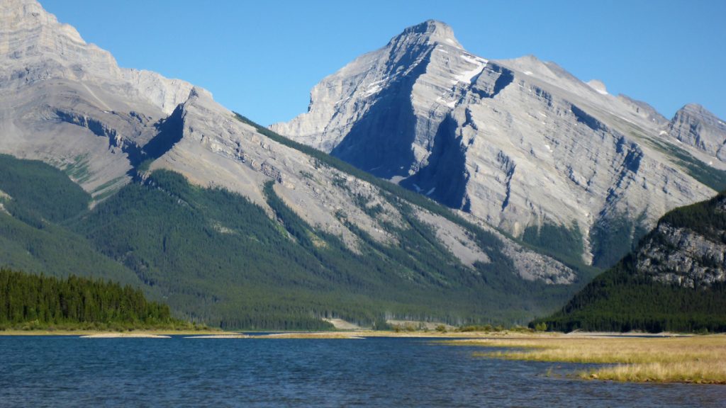
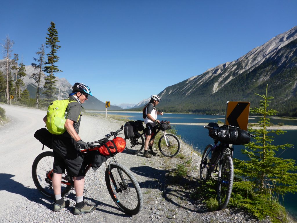
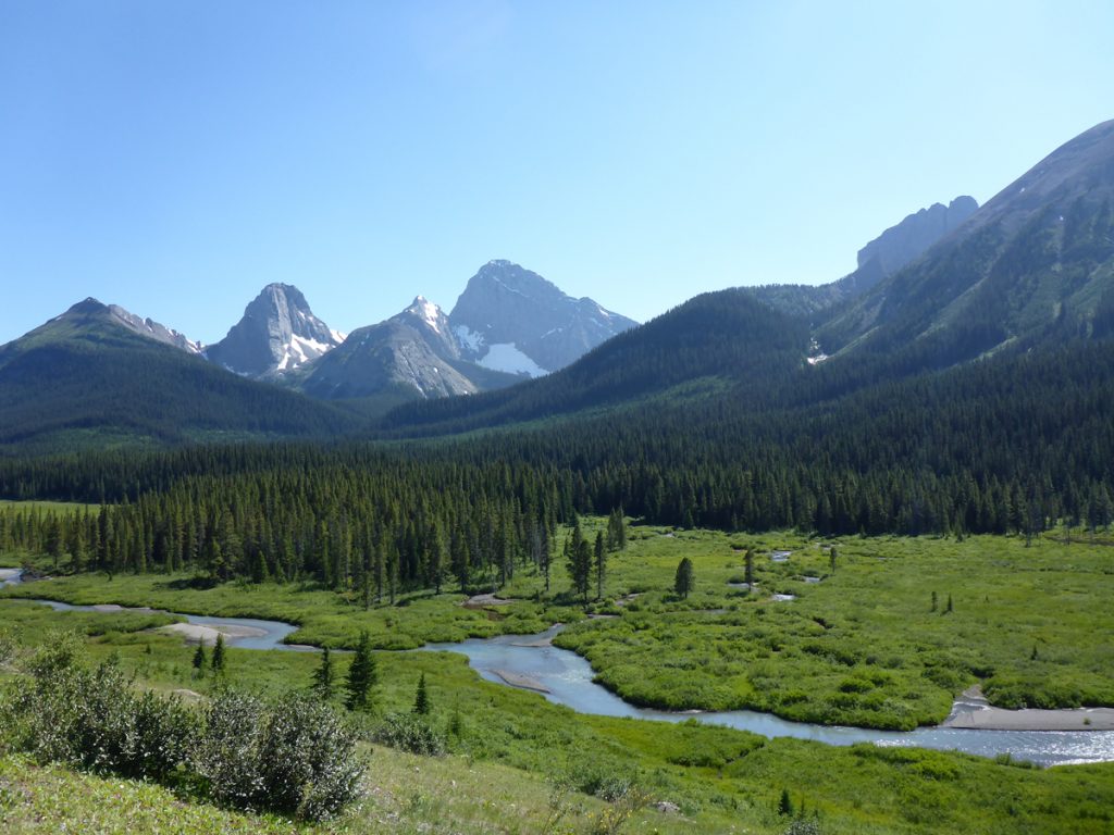
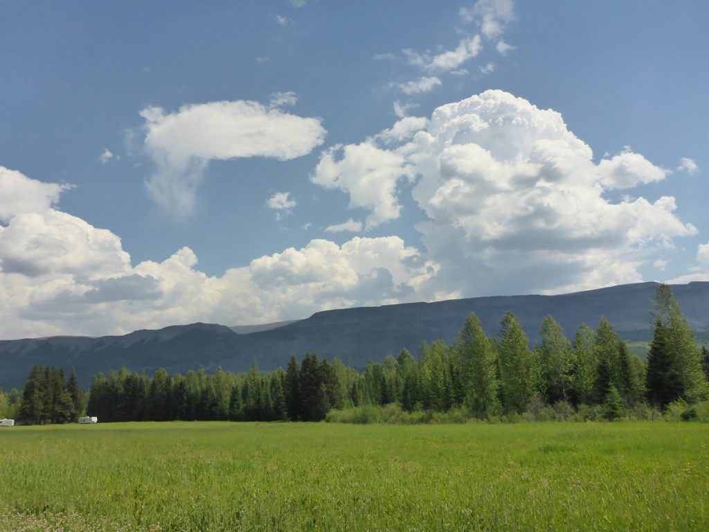
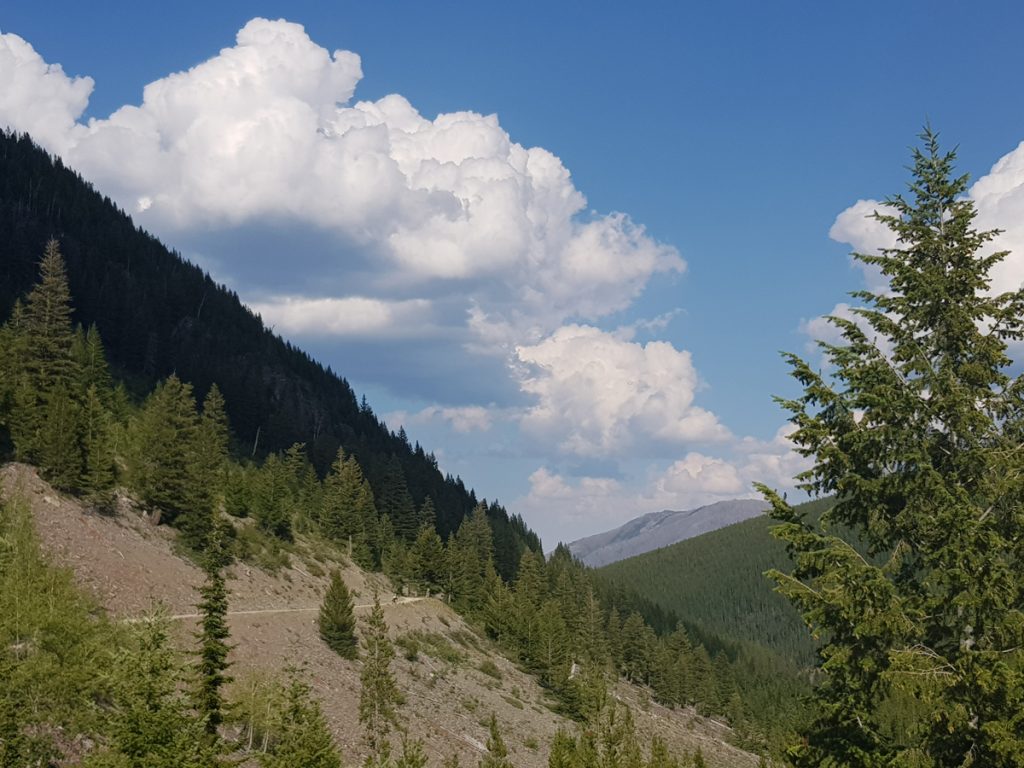
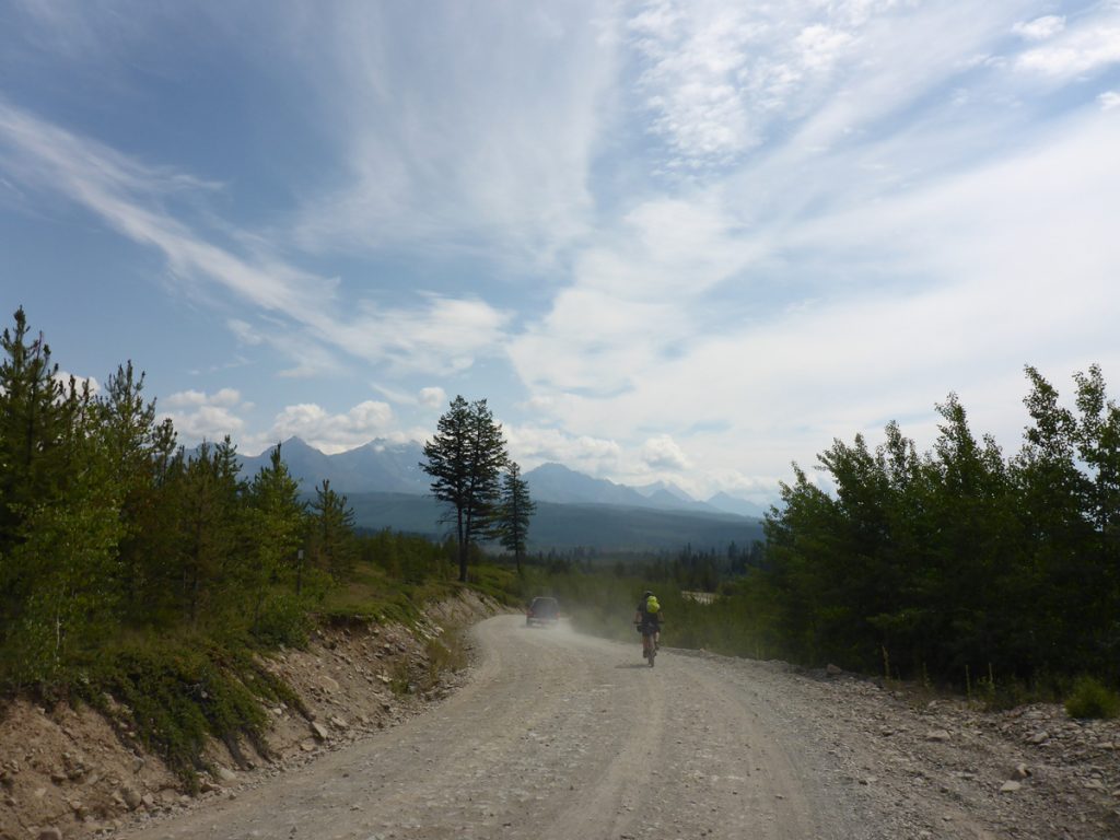
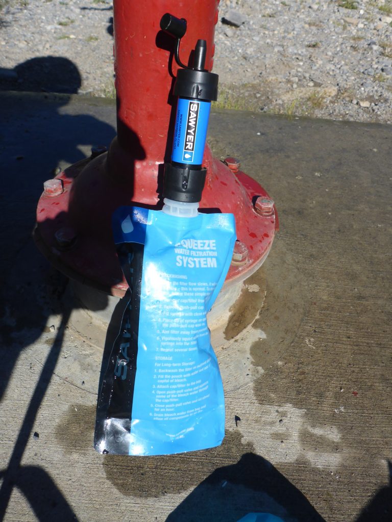
Day 2: Spray Lake West campground to Canyon campground. 36 miles A longer day, through more magnificent scenery. A landscape joining to form a splendid tapestry. A recreational paradise, rarely uphill or steep, but always accompanied by wild land, lakes, trees and mountains. Although the last 17 miles or so, consisted of quiet paved or gravel highway. We managed to drag ourselves away from the pleasures of Mount Engadine Lodge at around halfway! For us, the weather was baking hot, and stayed that way for the whole trip. Re-hydration was a constant issue, considering we had to filter any water we used. Peter Lougheed Provincial Park-Canyon campground was a very welcome sight, after such a hot second day on the bikes.
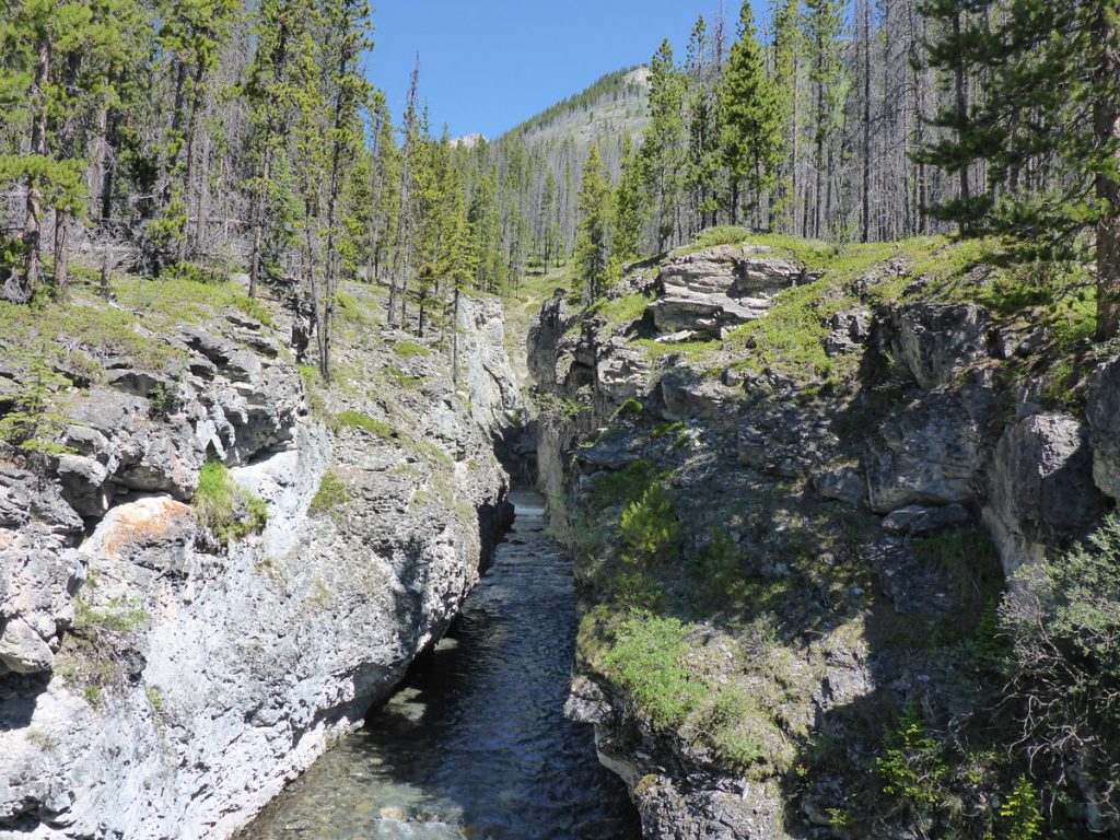
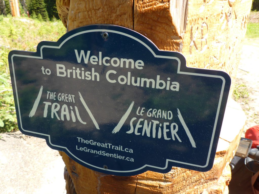
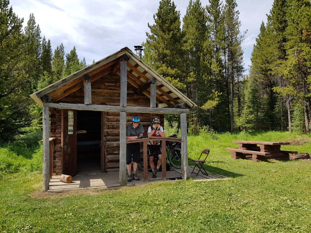
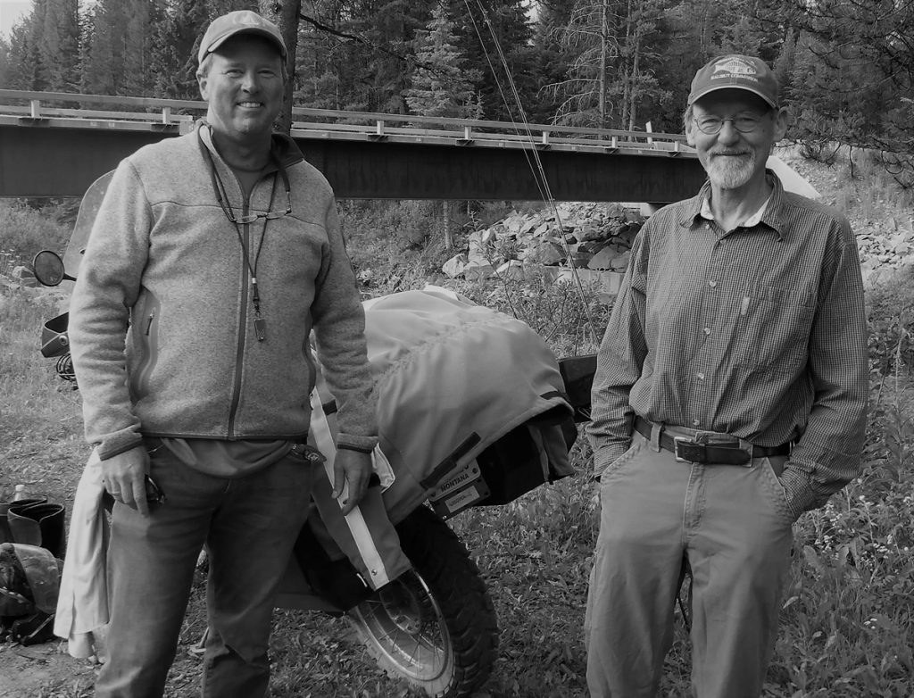
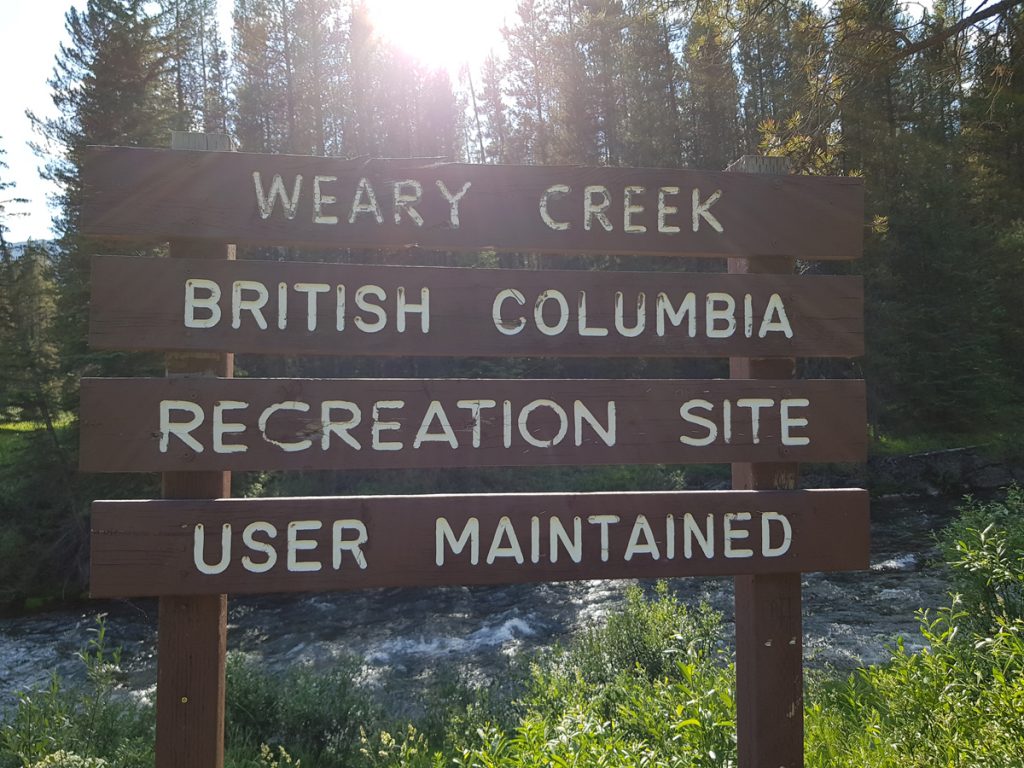
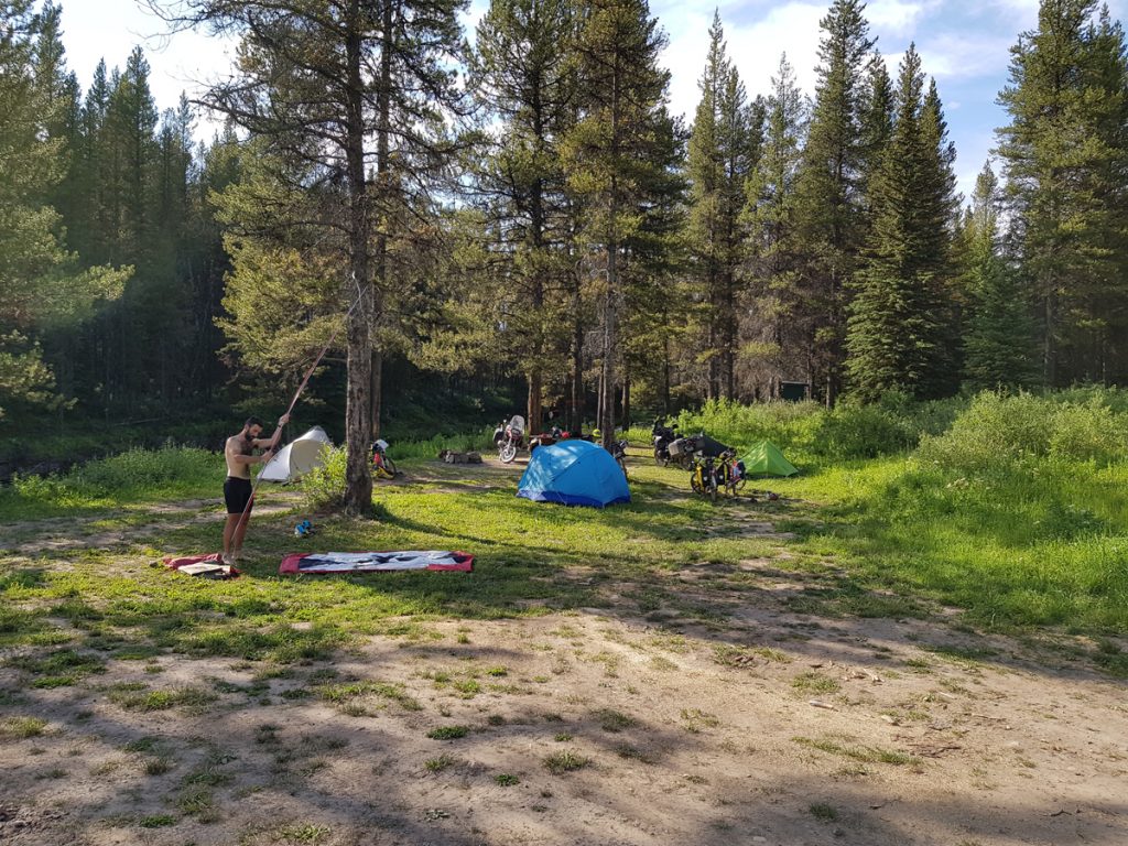
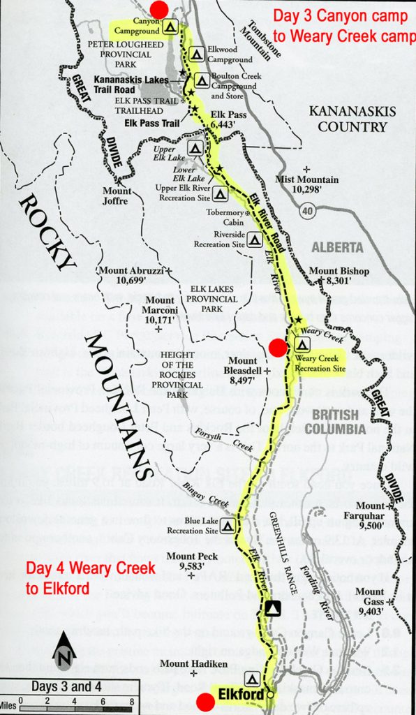
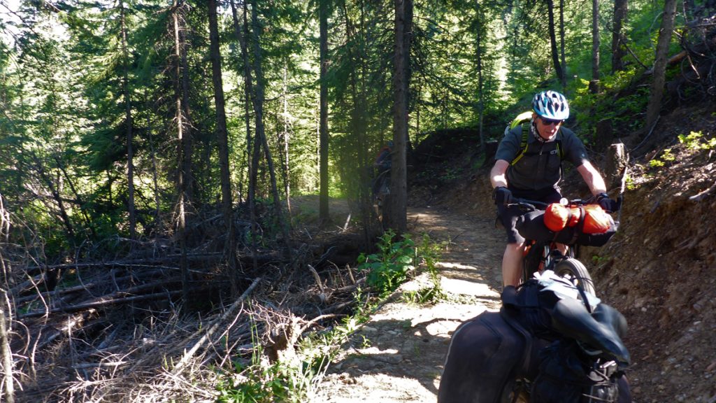
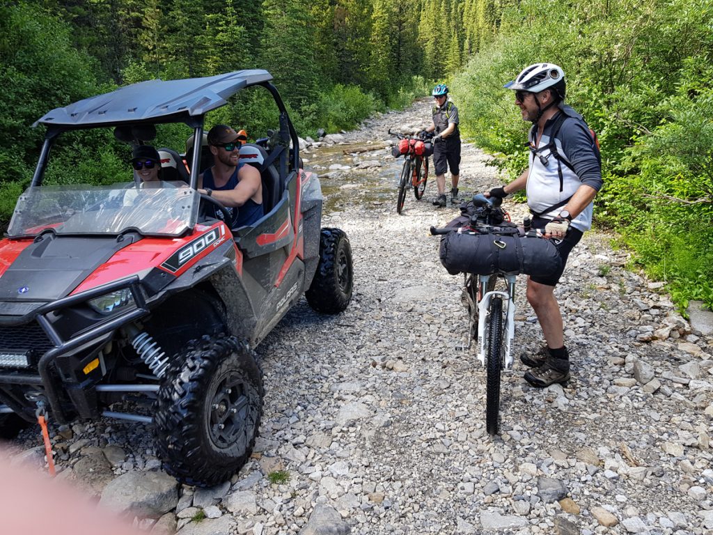
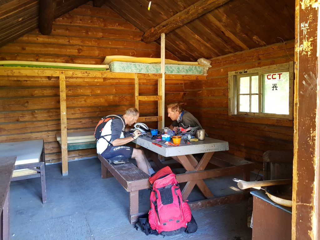
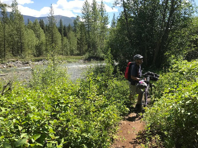
Day 3: Canyon Campground to Weary Creek. 25 miles. The only crossing of the Continental Divide in the Canadian section of our trip. Boulton Creek trading post is the best place to stock up for a couple of remote days ahead, gain some shade and plenty of liquid. Three miles of ascent (some very steep), leads to Elk Pass (6443ft), where we left Alberta for British Columbia. Descending towards the Elk River drainage was dry, steep and a relief after the tiring ascent. We met some cyclists, later on, who had unfortunately experienced this section during a rainstorm. Their cycle drivetrain was totally clogged with mud! Much of the non-technical route is also used by vehicles, and at Weary creek campground, next to the Upper Elk River, two friendly fishermen on motorbikes were also sharing the primitive site with us and other cyclists at the end of the day. The Elk River is one of the best fly-fishing rivers in Western Canada. Enroute at mile 13,9 is Tobermory Cabin, BC Forest Service. Includes cots and woodstove; available on a firstcome, firstserved basis.
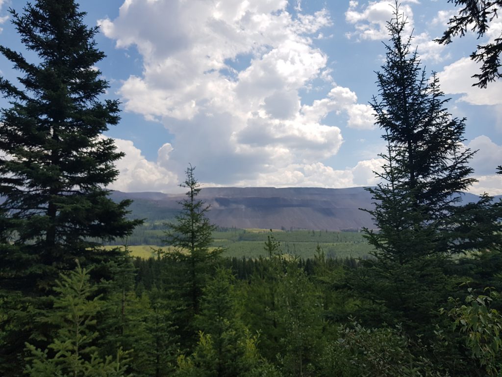
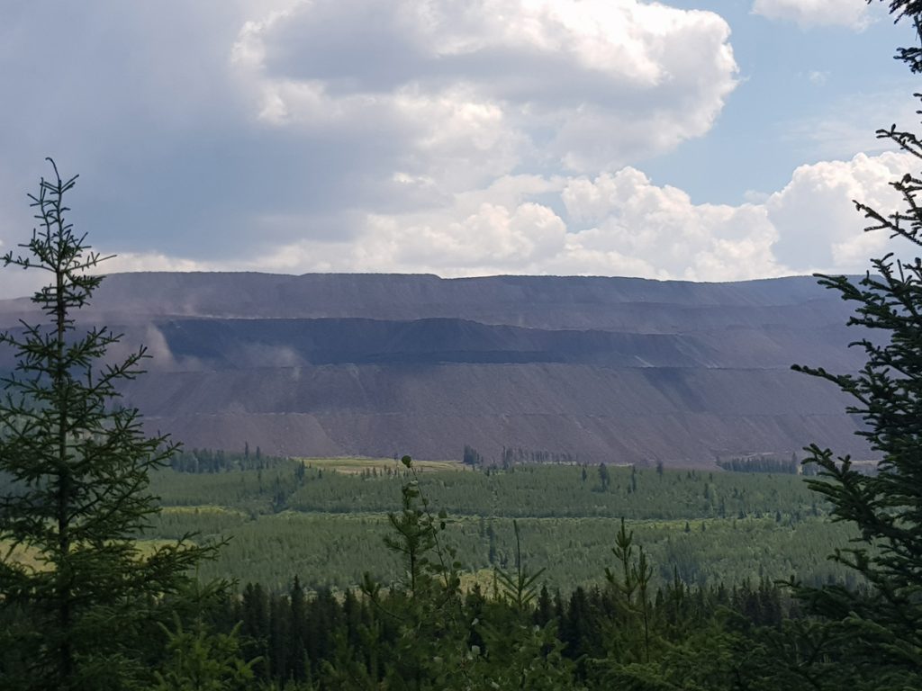
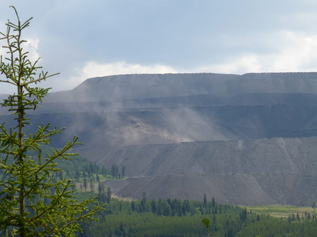
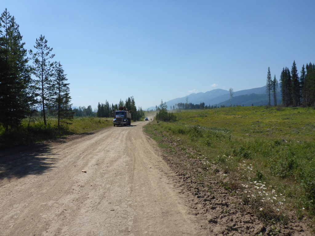
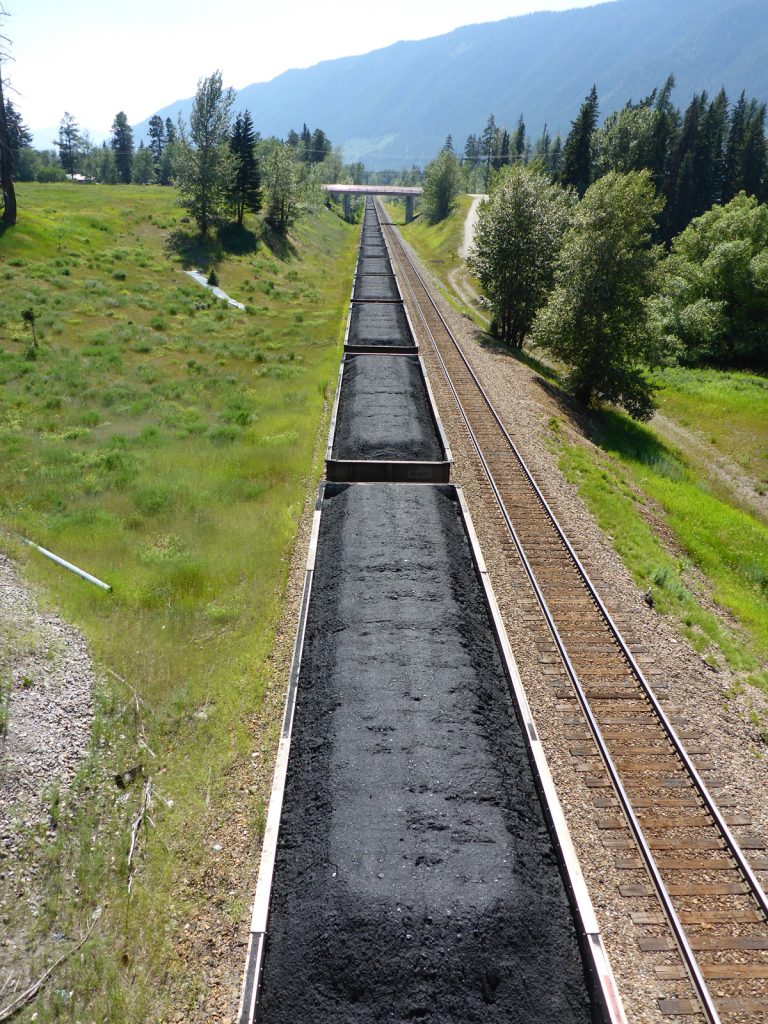
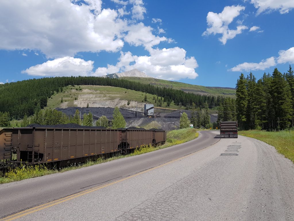
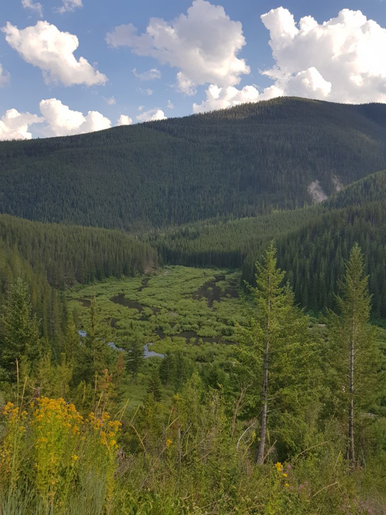
Day 4: Weary Creek to Elkford 28 miles. A day on gravel roads through extensive forests, following wild landscapes, bordering the Elk River At approximately half-way the Fording River open-pit coal extraction appears on the left-hand horizon, in massive form. Trail weary from our first four days out, Elkford came as a good stopover, for day 5 of relaxation, laundry and general festering. The Municipal campground is easy walking distance from everything that three tired cyclists needed. Along the route, we were meeting with more cyclists, some of whom had greater plans, or were just ‘going somewhere’. Mexico or Patagonia, seemed to be possibilities! What a life.
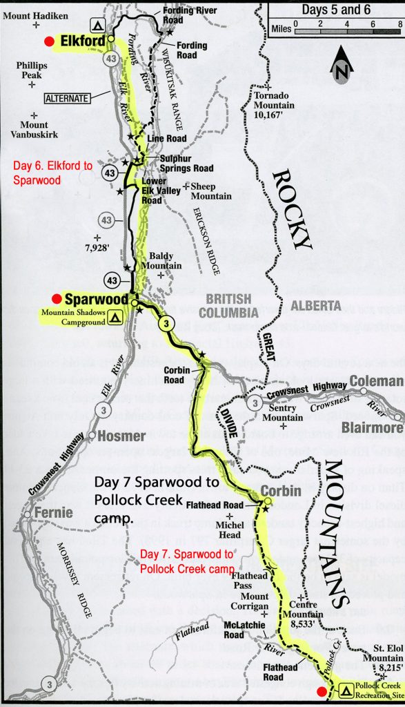
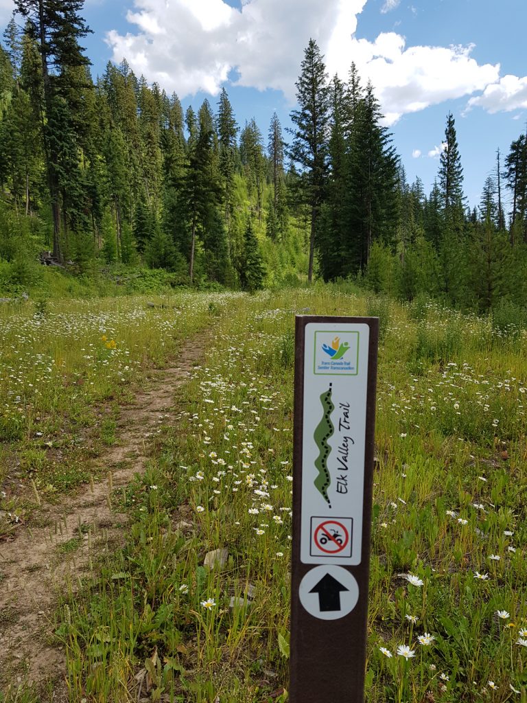
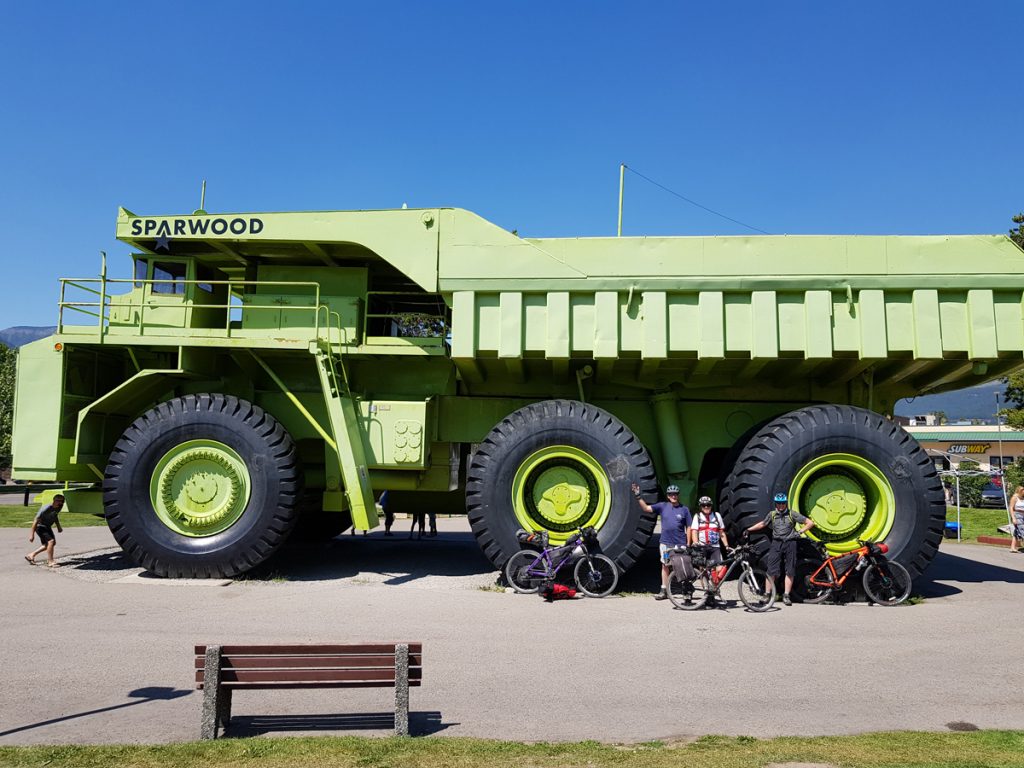
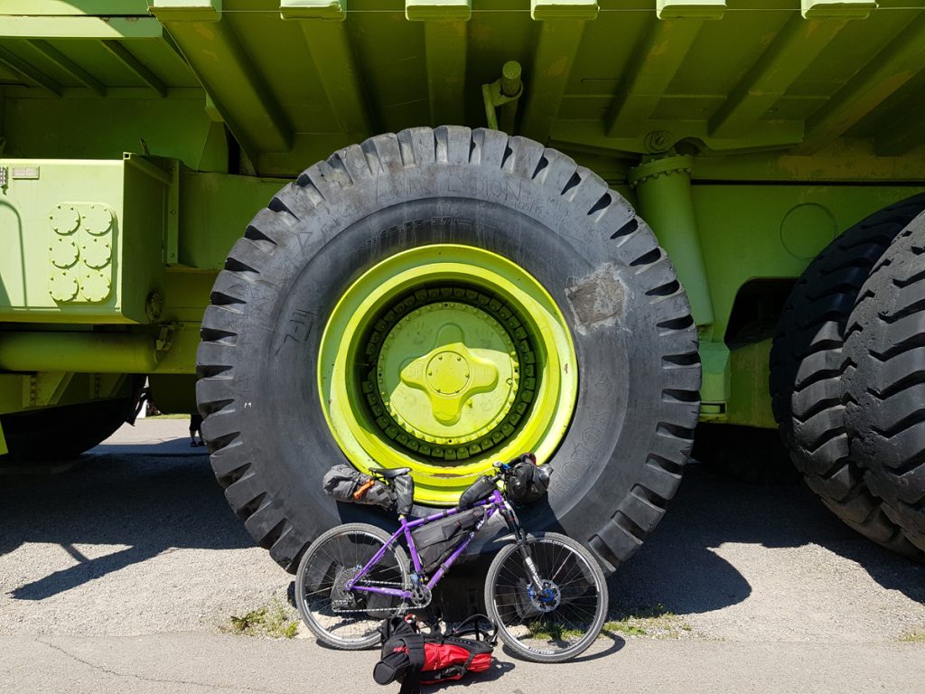
Day 6: Elkford to Sparwood 31 miles. The best day so far and we amended most of the section from the ACA guidebook to follow the Elk Valley Trail to Sparwood. Why wouldn’t you? Forest, open farmland and a river bank, with varied, single track, gravel and some paved sections, this trail avoids the the Fording River mining road for 20 miles, to a point where it joins Highway 43, for eight miles of smooth tarmac, before a left turn, back on to the pleasant Elk Valley Trail, and Sparwood, the heart of coal country and home to the worlds largest tandem axle truck. Don’t camp too close to the highway. It’s noisy.
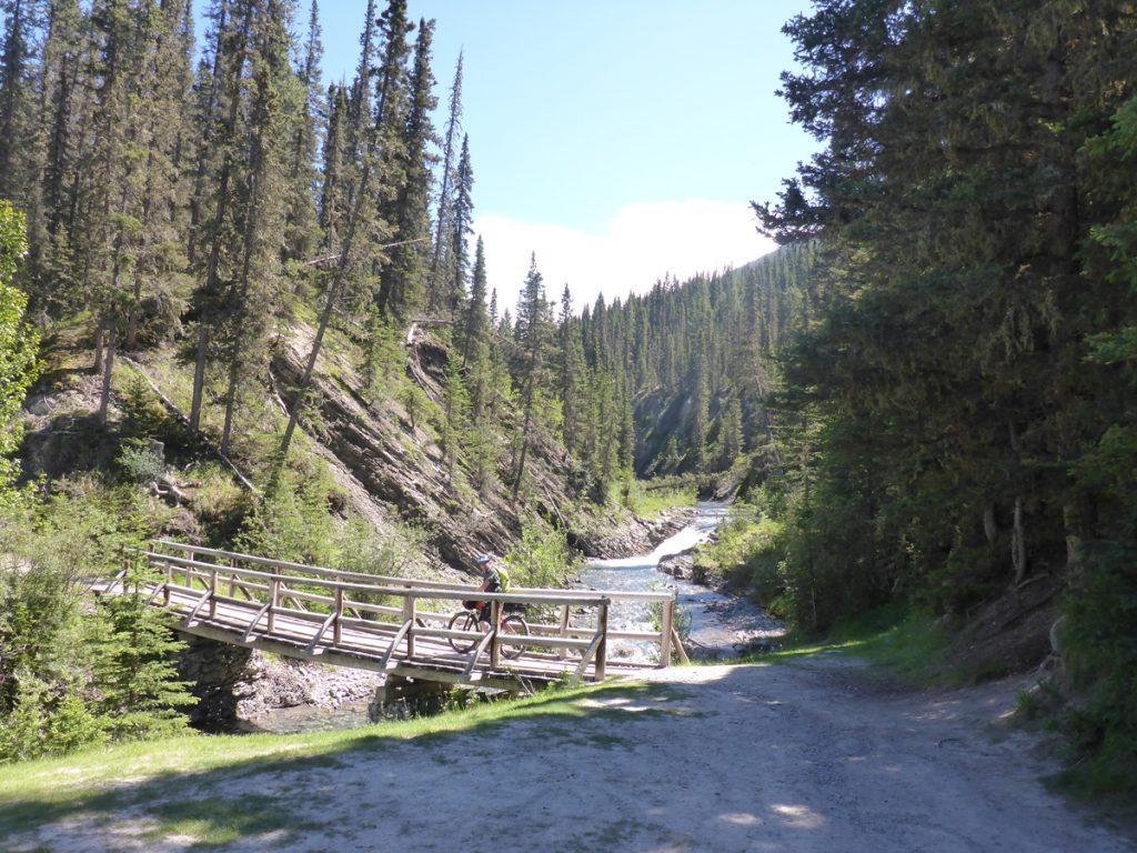
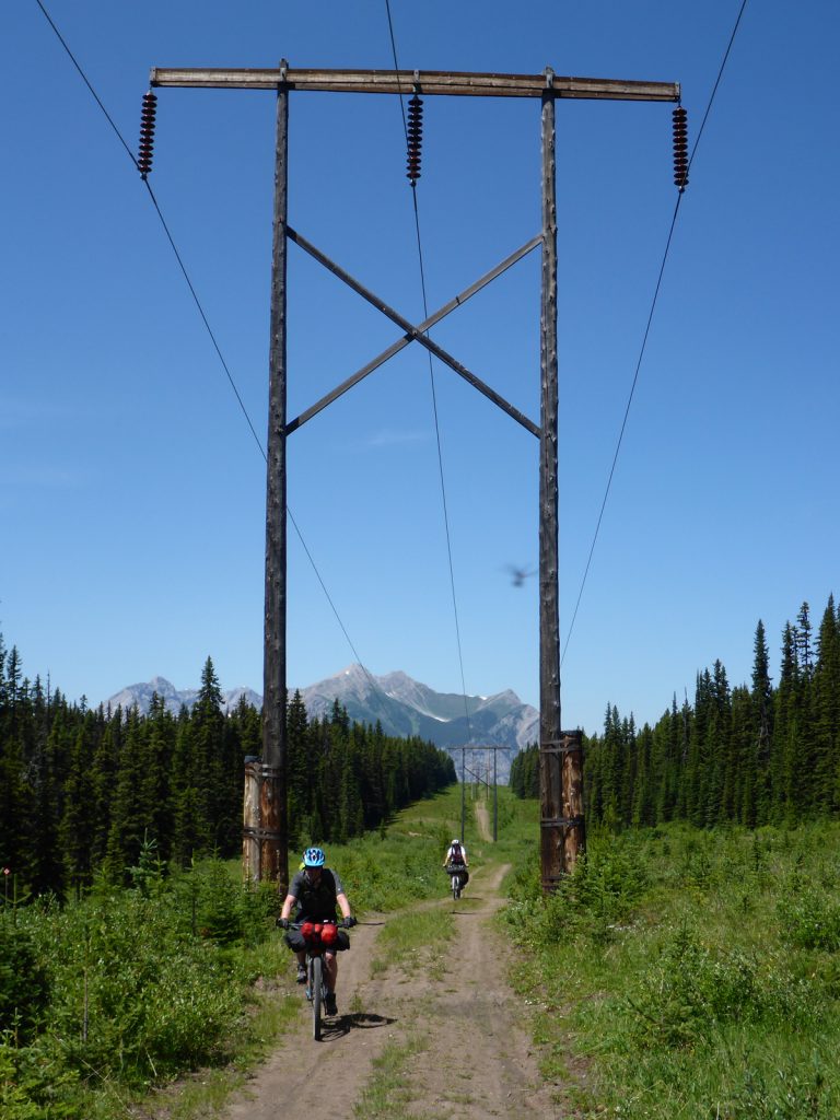
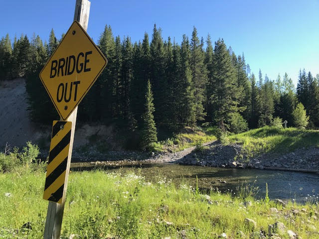
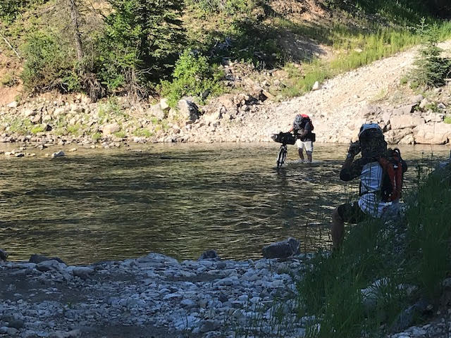
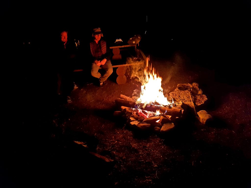
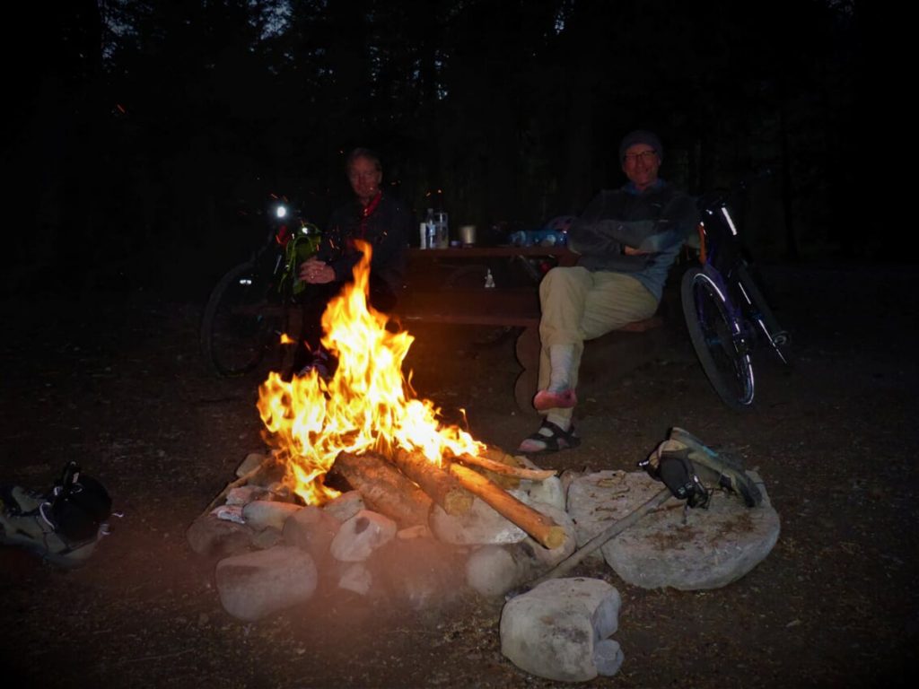
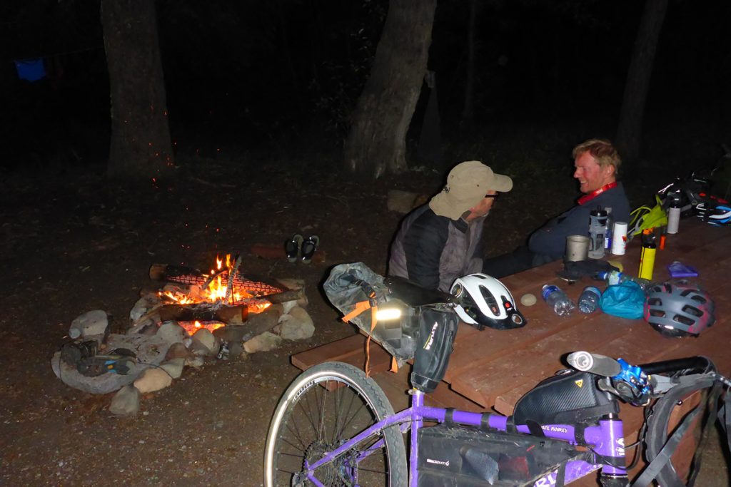
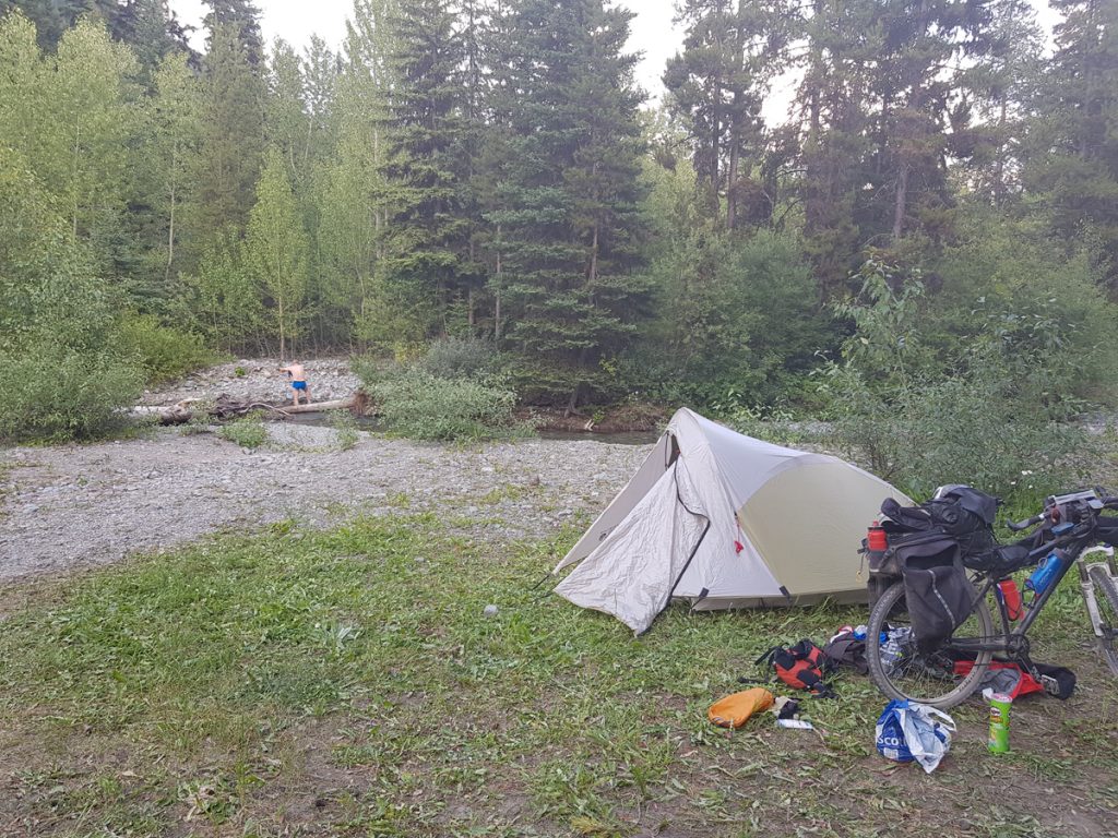
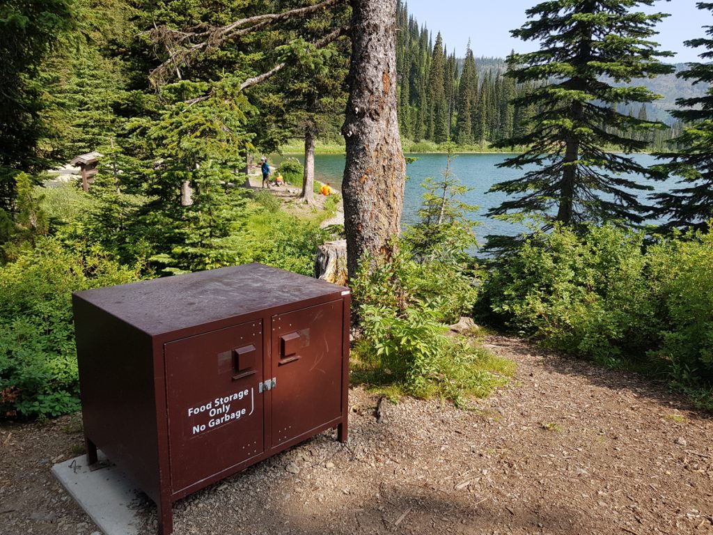
Day 7: Sparwood to Pollock Creek 39 miles. ‘Make your mind up time’. A simple road touring route, south through Fernie, on the busy Highway 3, which saves 40 miles, or into the backwoods. We chose the latter and stocked up with three days of ‘fodder’ for the next 125 miles of remote cycling. A quote from the guidebook , suggested a nervous journey, before reaching civilisation again….”the Grizzly Bear Highway of the Flathead-Wigwam region holds the largest population of inland grizzlies on the North American continent”…By now we had bells and whistles, which lit-up the solitude of our route! We saw plenty of fresh Bear scat on the trail, but fortunately no furry creatures. Dave and Richard were normally well in the lead, clearing the way! Seven miles of busy tarmac road, turns off to another fourteen miles of quieter paved pedaling, where wilderness begins. Six miles climb to the Flathead Pass. The descent route is part trail and part stream. Fortunately no rain had fallen recently and the eroded trail/stream was manageable. Even more fortunate was the the river level just prior to the campsite. The bridge over the Flathead River was gone completely, but wading over with knee-high water levels was just possible. The route is also used by ATV drivers, hunting and fishing, so expect some company at the Pollock Creek campsite. You’ll normally find plenty of high branches to hang your food, out of reach of any foraging Bear. Do not take food into your tent. Make sure to take a length of light line for this (30m?). As normal, picnic tables and composting toilets are ‘standard’, with plenty of wood for a campfire, to help dry our wet footwear. Sleep comes easy.
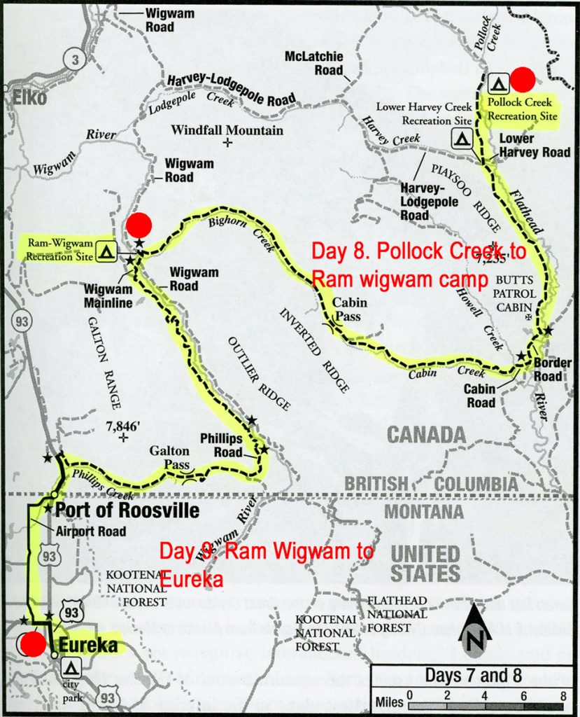
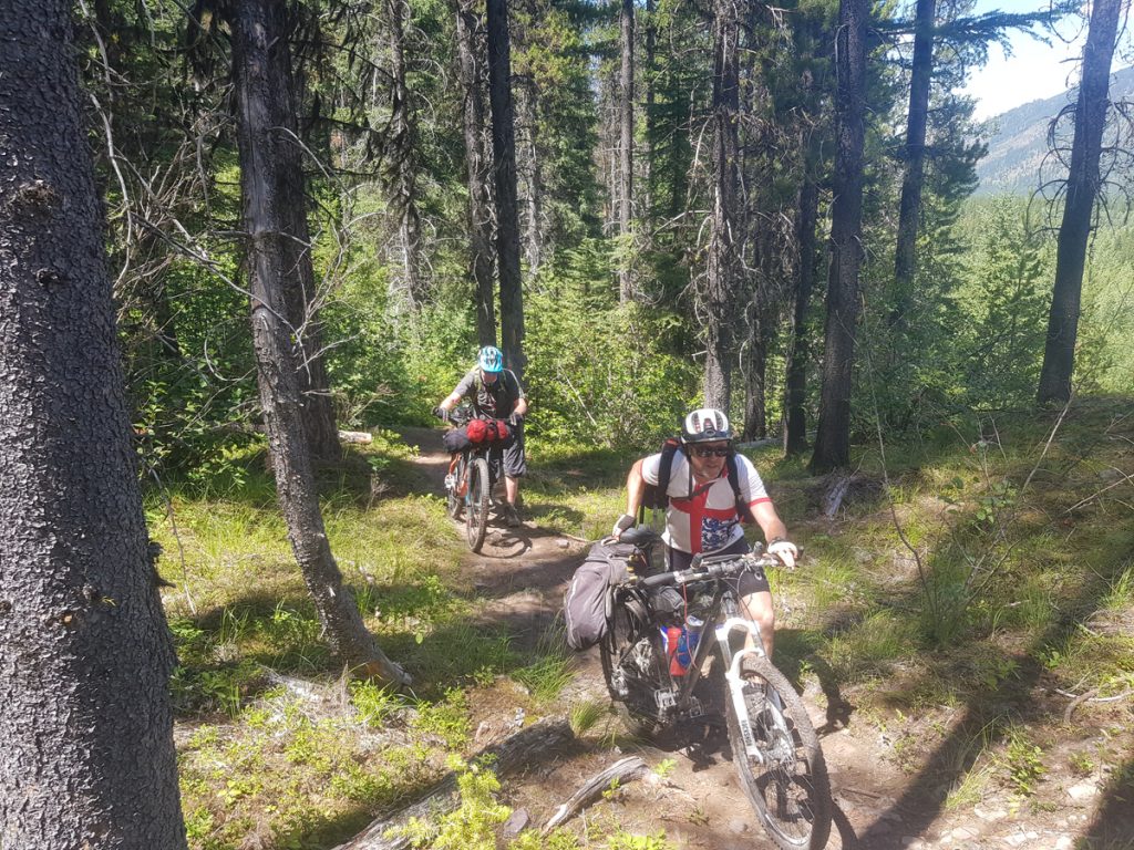
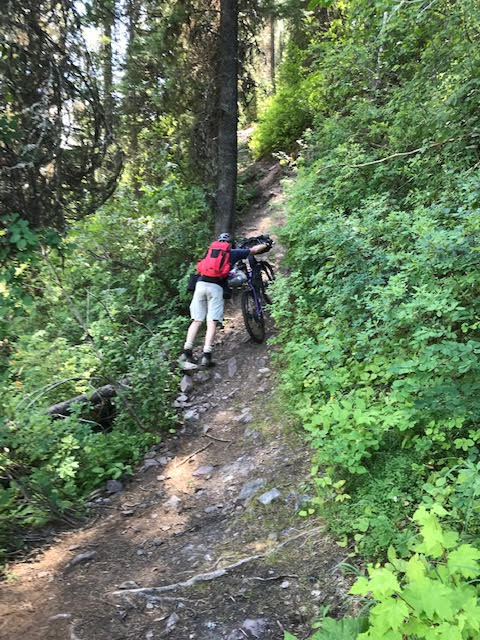
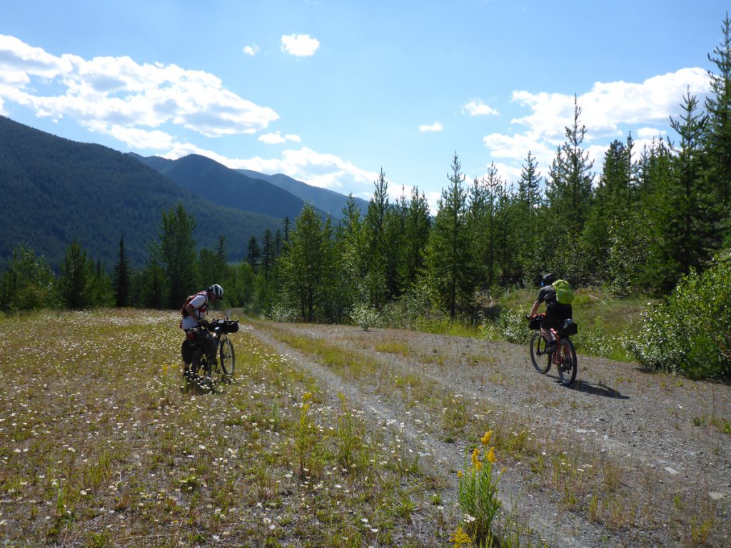
Day 8: Pollock Creek to Ram-Wigwam 44 miles. The longest day so far, including a steep climb to Cabin Pass, after twenty nine miles. For me at least, the steeper sections were overcome by ‘push’ biking. Trying to overcome steep uphill sections, I find easier to dismount and push. In fact it’s more restful than staying in the saddle, in the knowledge that my companions had scared off any Bear in the area ahead! More wilderness and a history of conservation on our second day, traversing this area, towards the border with Canada and the USA. Butts Patrol Cabin made a good spot to rest for a ‘brew’. Ram-Wigwam campsite provided the usual basic, but acceptable overnight stop.
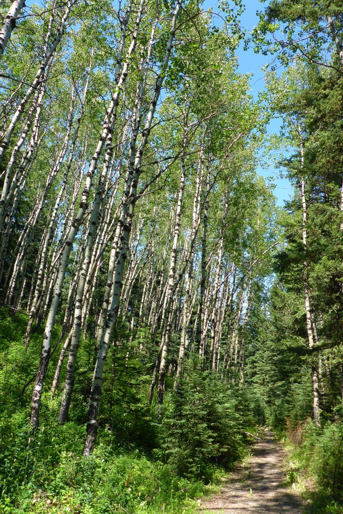
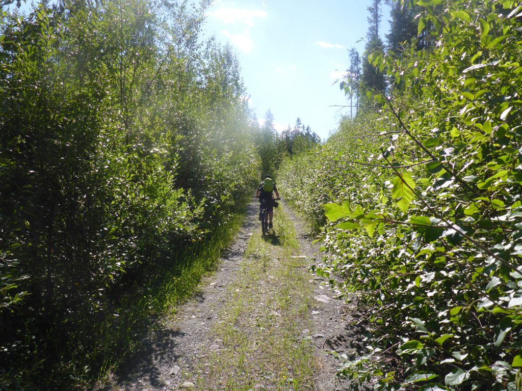
Day 9 Ram-Wigwam to Eureka 43 miles. Another long section, with our second rest day in sight at Eureka. This day contains the most difficult and frankly ridiculous, half a mile section of our whole trip. ‘The Wall’ is approached through head high brush, on single track, where a Bear encounter could prove fatal. Nowhere to hide or run! Then an insanely steep, root-filled, loose and dusty climb on foot. The guidebook recommends two ascents. One for luggage and another for your bike:( Either way a slip could be serious. We opted to push/brake/step, a slow technique that thankfully worked. I’d managed to gain first place for a change, which allowed me a free run and no chance of my companions falling, heavily laden from above! This short, difficult section links on to the the Phillips Road. A gravel trail enclosed by trees and high bush. I saw a Moose on this section, but it turned away quickly.
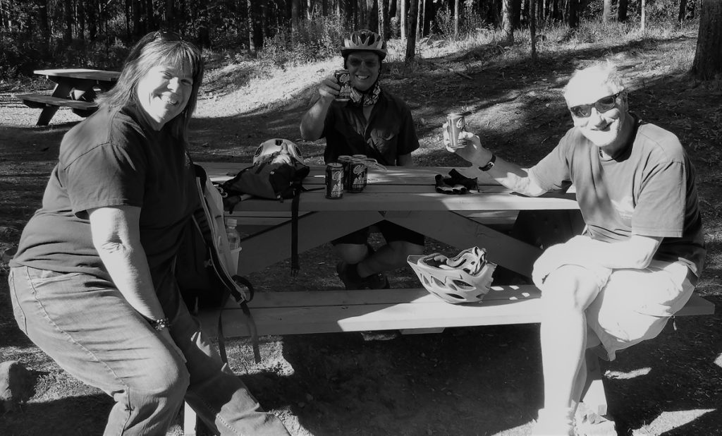
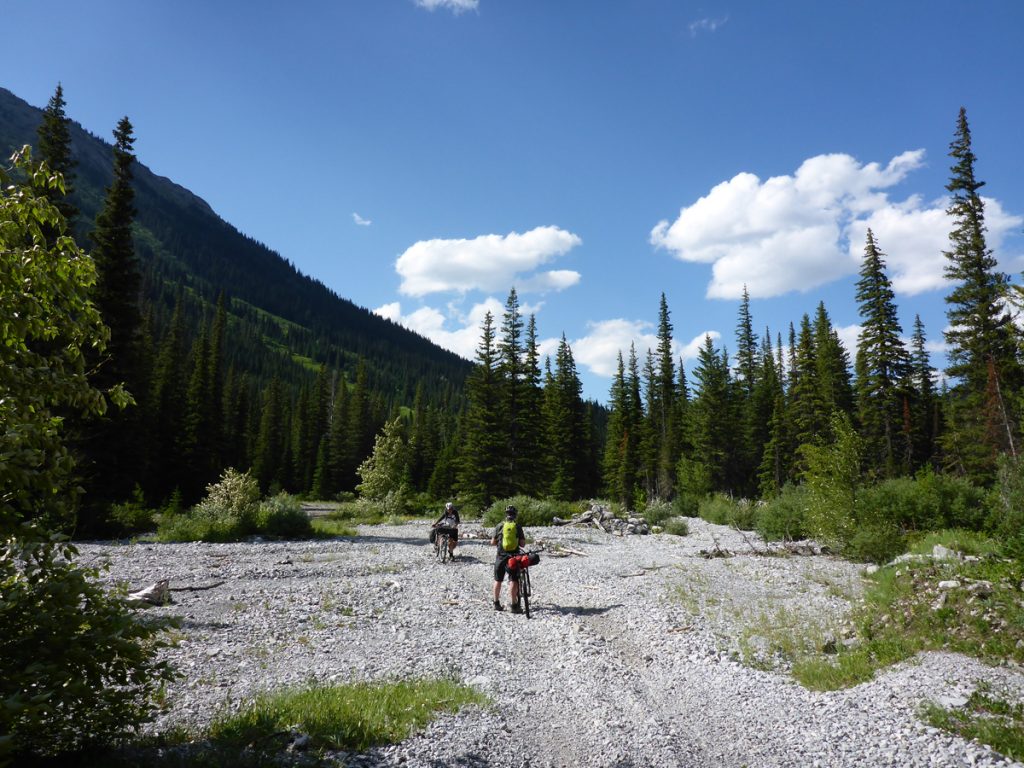
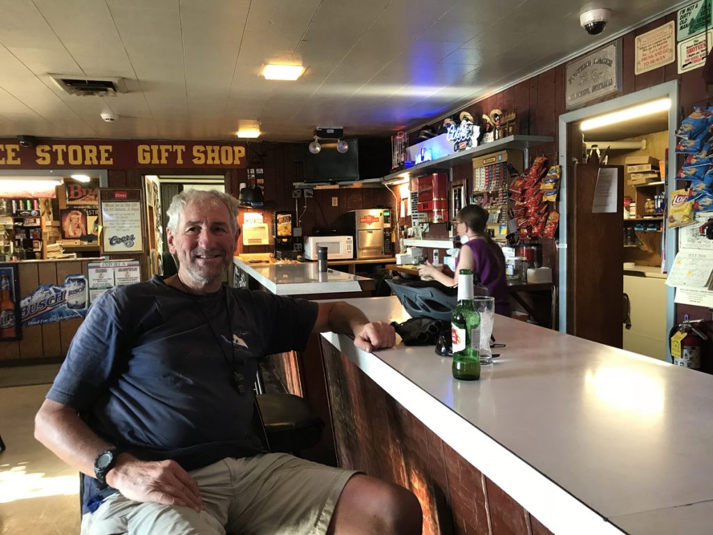
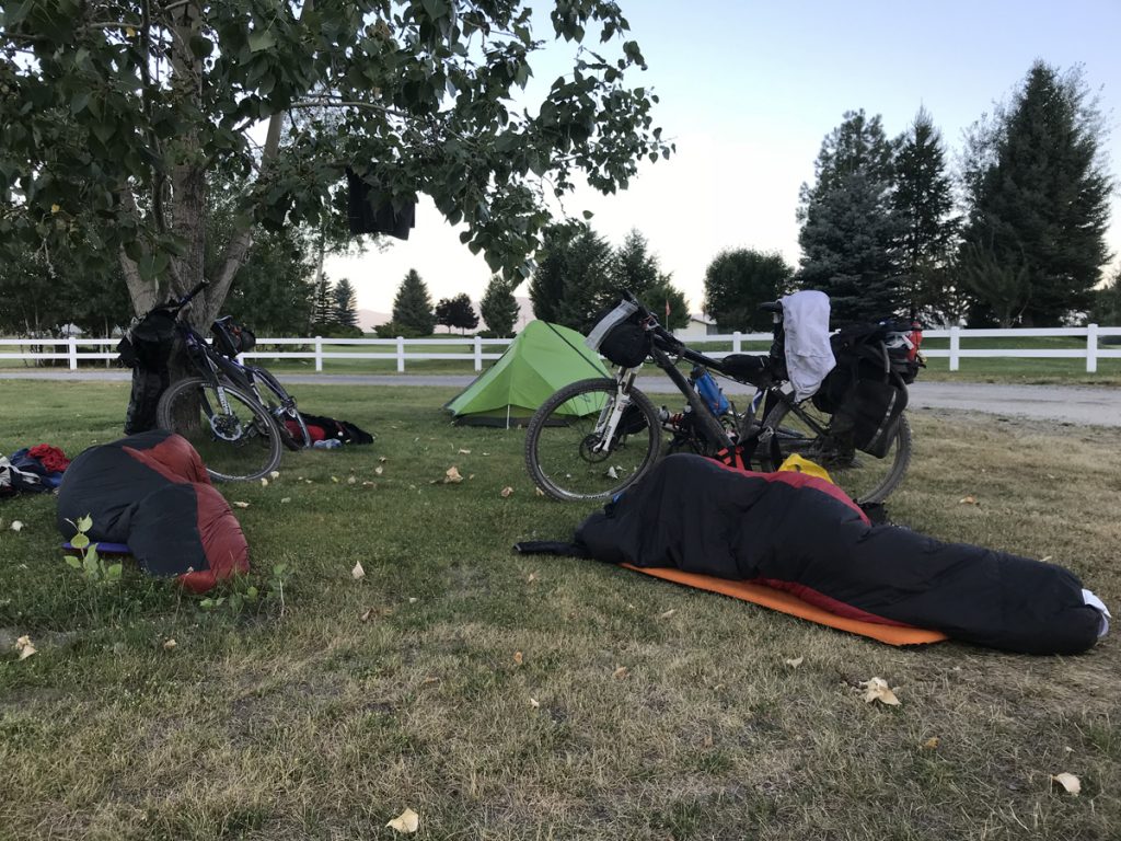
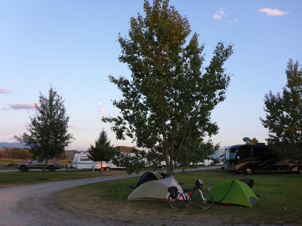
After The Wall the difficulties reduce, heading for the mighty descent of the Galton Pass. It’s 3,500 ft of varied surface and the guidebook states…”Use extreme care”…We passed other cyclists ascending. It must be torture going up this rocky trail. Great speeds in descent can be achieved for a ‘brave’ cyclist. Richard and I, finally caught up with Dave, resting on the tarmac of Provincial Highway 93. Make sure you have applied in advance, before leaving home, for your ESTA After the Canada/USA border crossing, it’s all simple paved highway to Eureka. Baking hot and happy with our last three days, a few beers were in order on the USA side of the border. Exiting from the bar, I found a flat rear tire. The one and only puncture the Schwalbe Marathon suffered before or since, through circa 2,000 miles of travel. A pinched tube, no doubt. Alcohol, dehydration and 30degC temperature and a very tight wheel rim, resisted a quick fix, so I hitched a ride on a pick-up, with my bike, for the last ten miles to our campsite. With more time on our rest day the tube was patched and lasted to the end. Our campsite for two nights was at Silverado RV Park. Good facilities, included laundry, shower room and clean toilets, all very close to town. On our first night, after more beers and a meal, we just ‘crashed’ on the grass, too tired to pitch the tent. Eureka proved a good spot to rest for a day, before moving on. Plenty of good places to eat, with quirky shops and an interesting museum
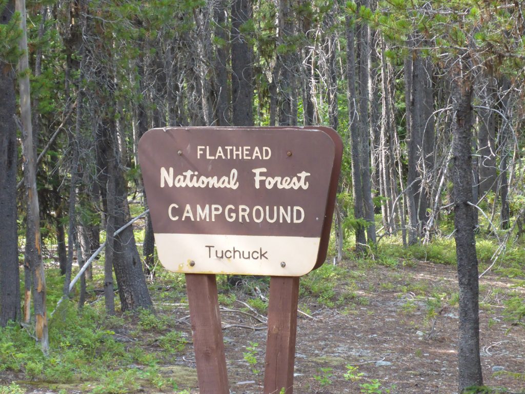
Day 11: Eureka to Tuchuck campground 30 miles. Stock up with two days supplies to get you to Whitefish. An easier day, with a pleasant five mile descent to the campsite.
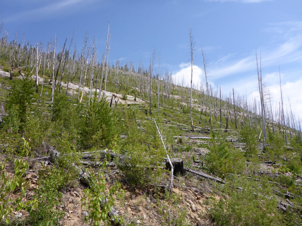
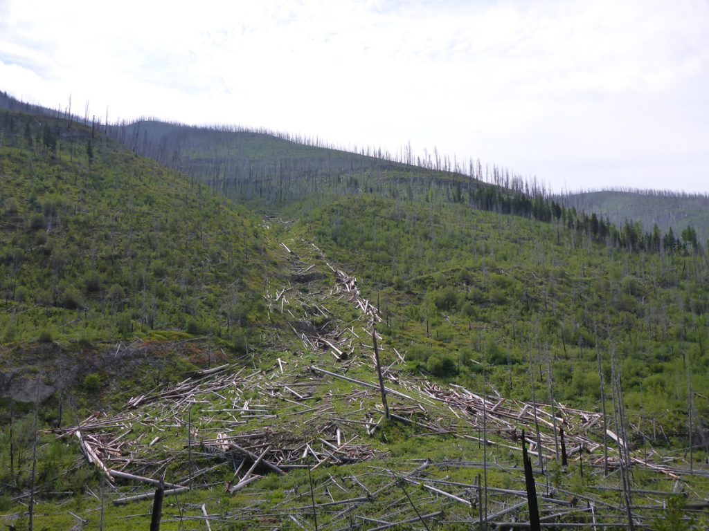
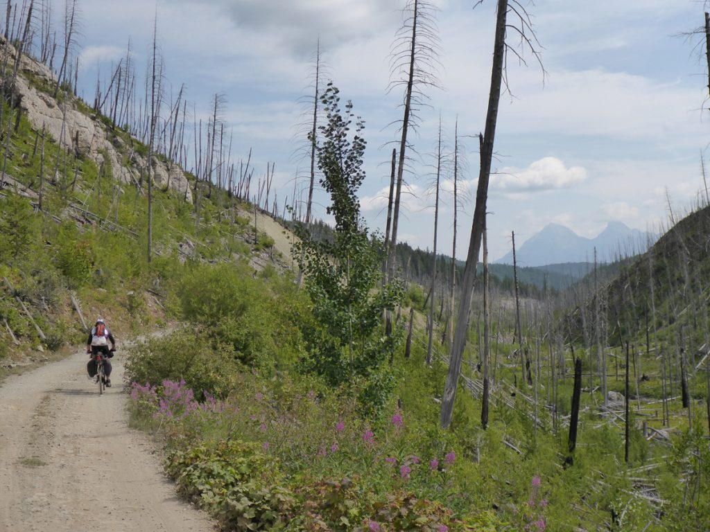
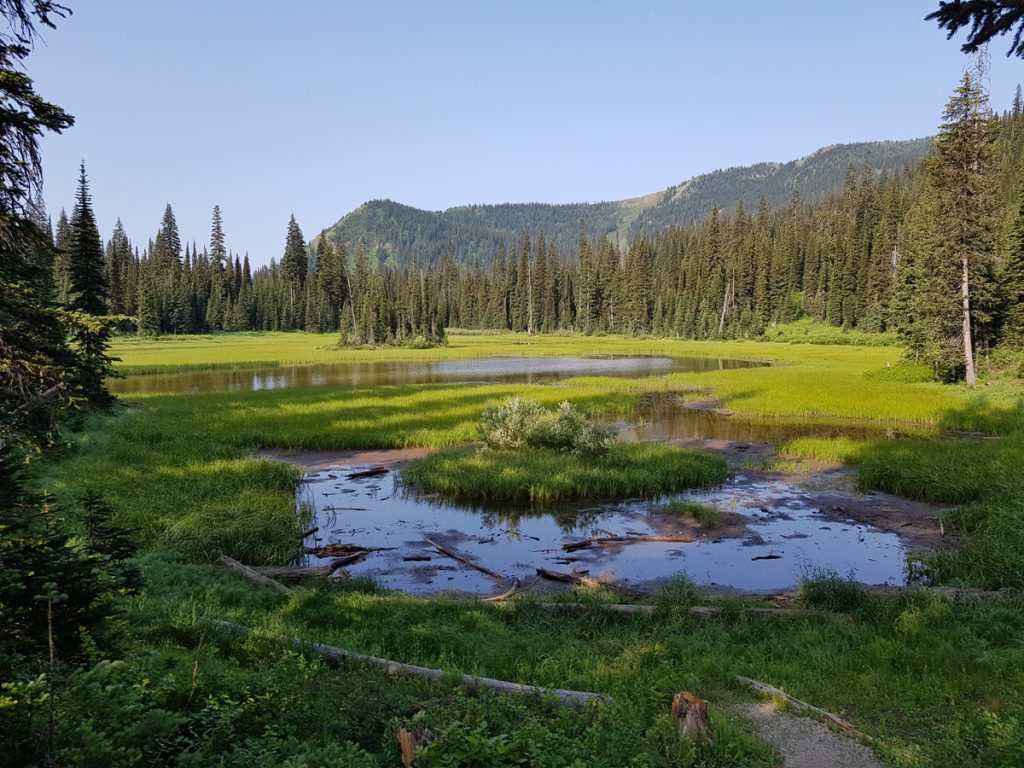
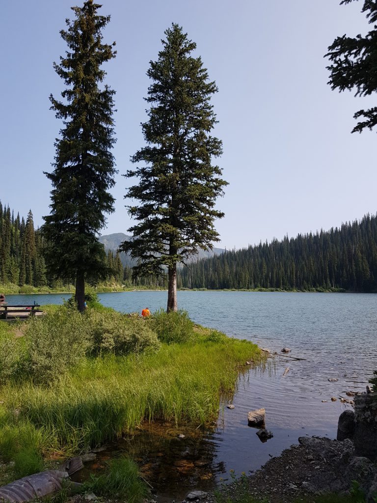
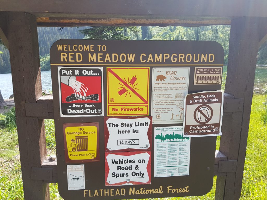
Day 12: Tuchuck to Red Meadow Lake 30 miles. Unlike the previous day, the final tree-lined ascent to Red Meadow Lake campground was long and tedious, but rewarded by a great overnight location. One our best overnight stops of the whole trip. Interestingly, this day passes through an area which suffered sorely from the 1988 Red Bench Fire. The Red Meadow lake was the scene of a vast and fatal avalanche in the winter of 2006. Here we met quite a few touring cyclists. One solo Australian had taken three days to cycle the sections that had taken us twelve and he’d met Bear on each day!
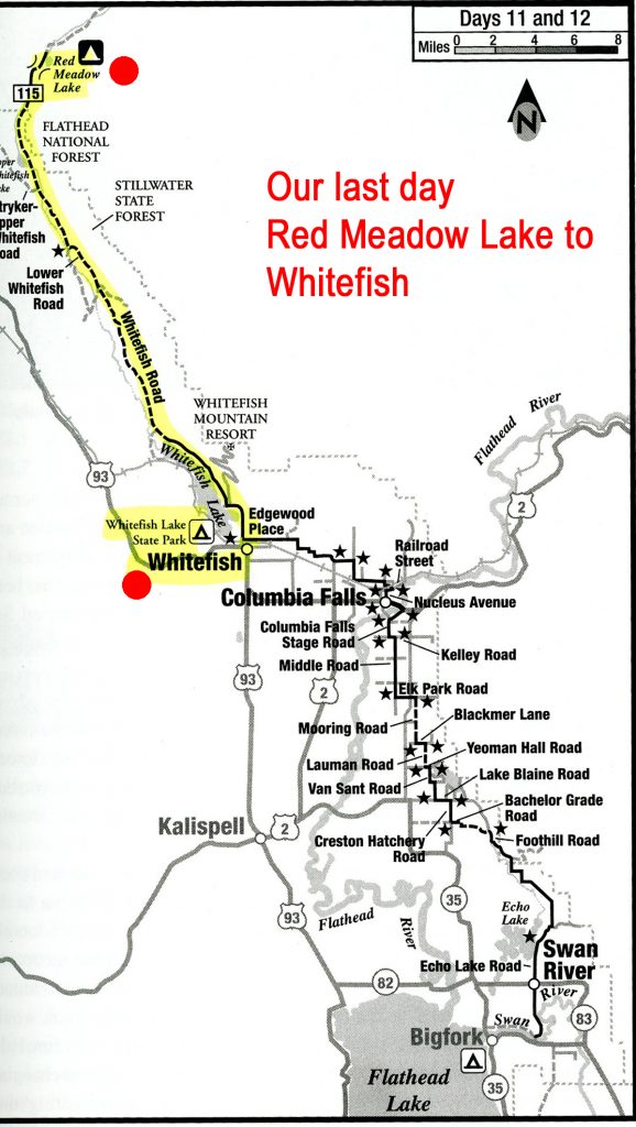
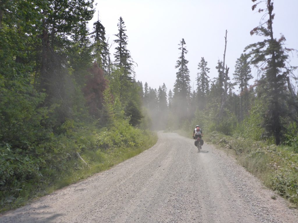
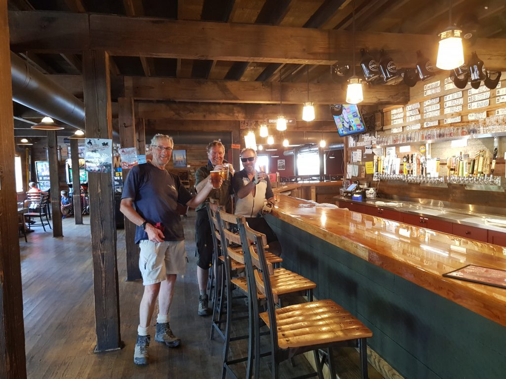
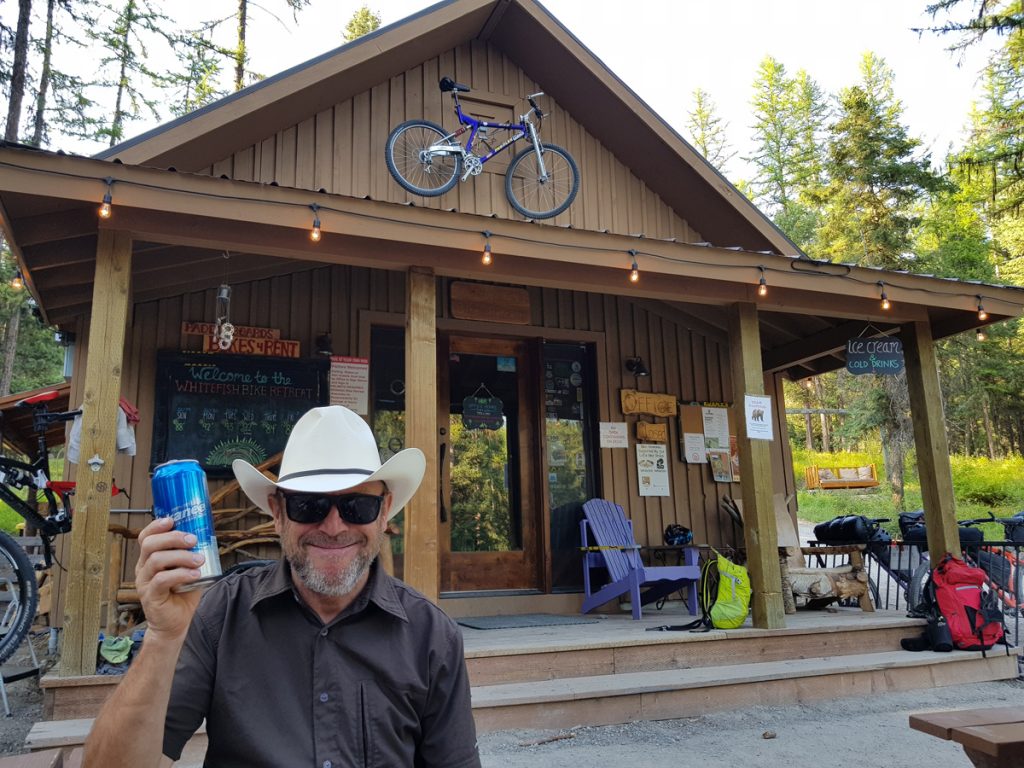
Day 13: Red Meadow to Whitefish 29 miles A simple day, mostly descending or flat. The last eight miles use a paved highway. Quickly leaving the wild Flathead National Forest we entered the Stillwater State Forest (poor website). The final spin into Whitefish alongside the lake was thirsty work. Rehydration at the Tap House was tempting. That night we used Whitefish Campground on the shores of the lake. No website, and plenty of noisy trains all night, but an easy walk/cycle into town. Alternatives are available and farther out of town is Whitefish Bike Retreat of which, more later, but worth the extra effort. Well known for winter activities Whitefish is a modern town, with all facilities
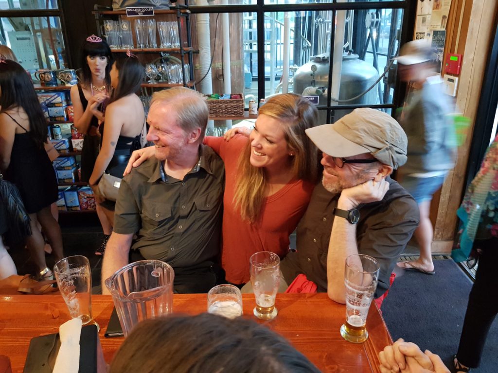
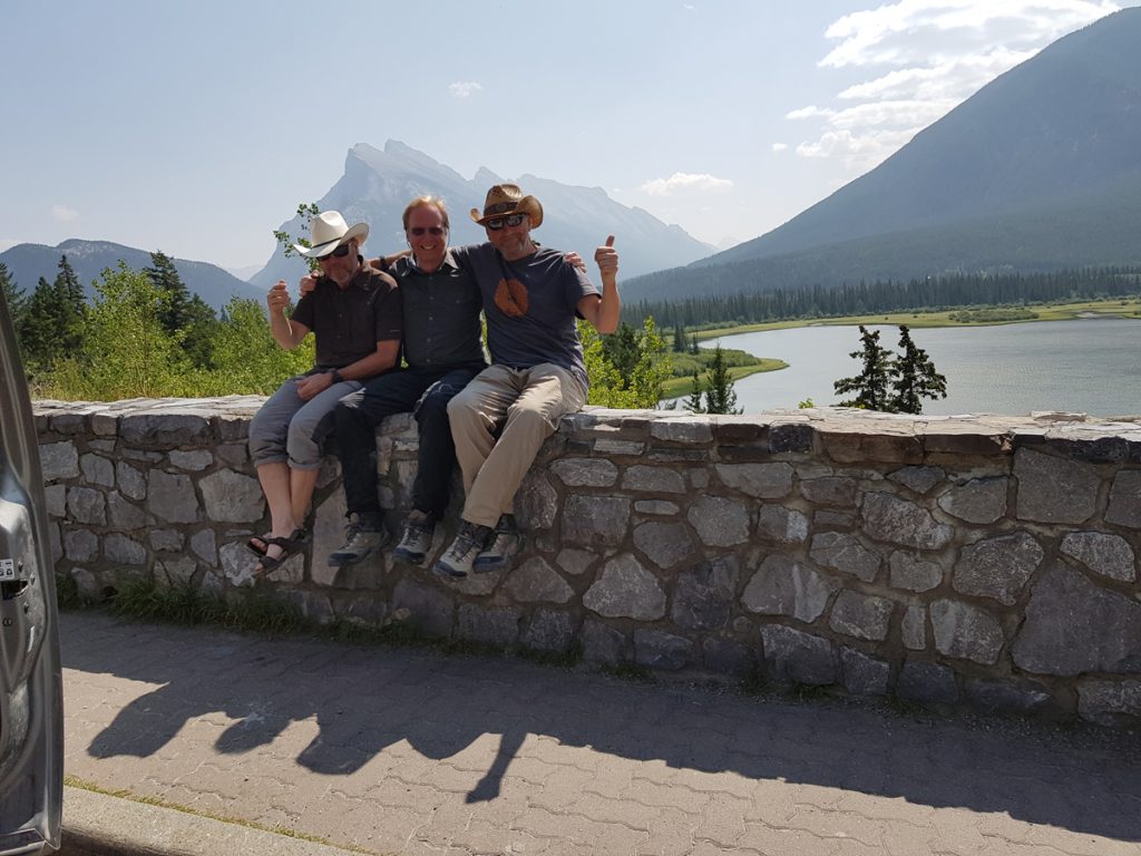
Final days. Friends, Whitefish and shuttle home. Whitefish is a good spot to finish, if like us, you are on a short holiday schedule. We’d met many great people along our journey. The community of long distant bike tourers is friendly and helpful, clearly adventurous and mostly happy. At Red Meadow Lake we met a couple connected with a brewery in Whitefish. They offered to take us out for a meal, which we gladly accepted, on arrival. An old Pal of mine (Marni) from working together in Fort William, came up from Missoula to say hi. Her advice on ‘thrift shops’ resulted in a clean set of clothes to travel home with for $5. Whitefish is a fairly wealthy town, so the kit was good quality!
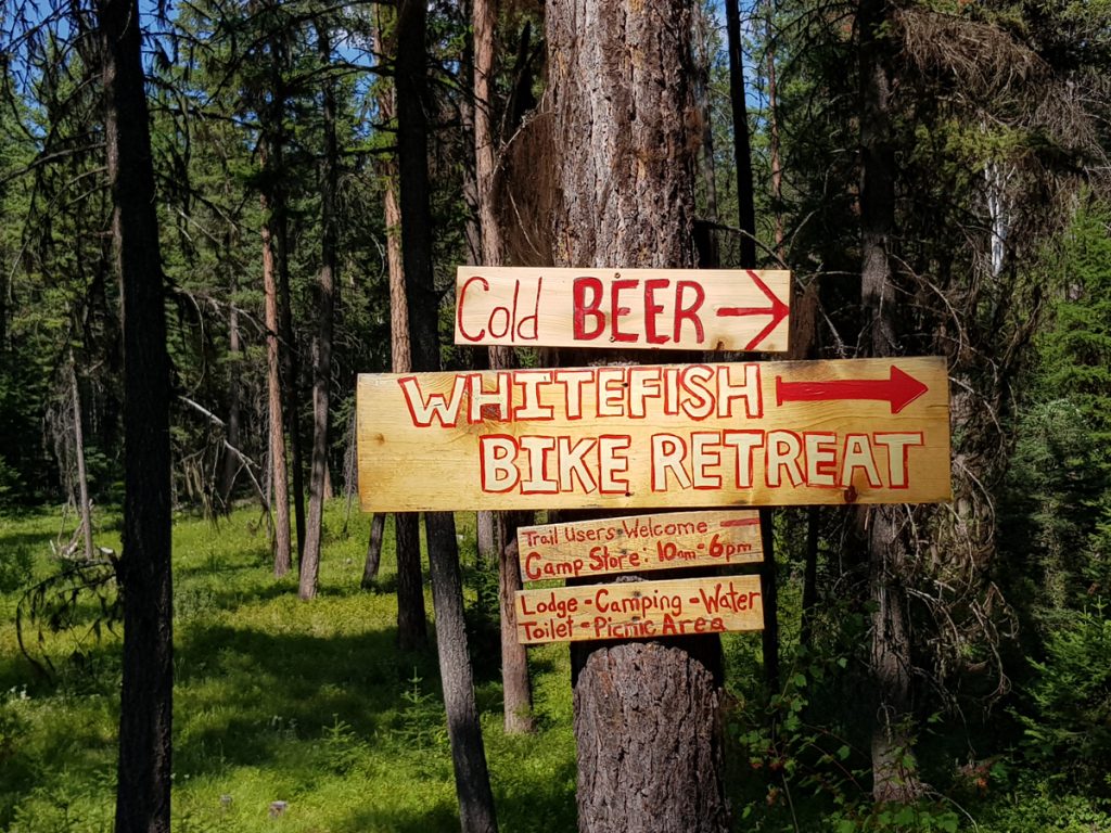
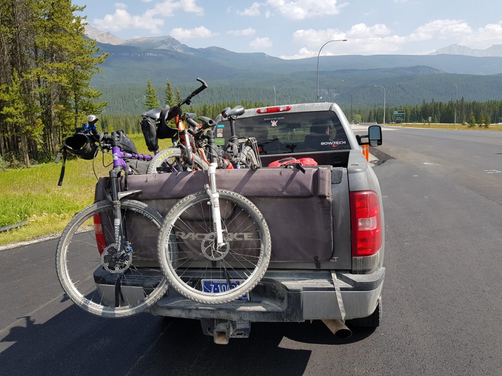
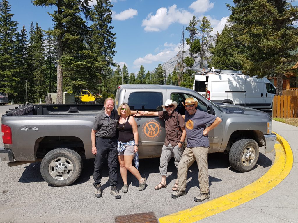
Make sure you arrange a shuttle back to your departure airport before leaving home. We could not find a coach or train shuttle back to Calgary. Flying involves boxing your bike and travelling via Seattle or Vancouver. No direct flights existed, direct to Calgary from Whitefish. Fortunately an advance booking with Whitefish Bike Retreat (WBR) was the answer. Don’t leave this too long before booking. If you want to travel past Whitefish, they can also help out as well. Calling them before you book your flight could be a wise move. Cricket Butler is the go to lady, so helpful and friendly. Check her out and do take time to watch this lifestyle bike-packer. All sorts of enthusiastic advice in the video and she can arrange supported tours on the Great Divide. The Bike retreat is approached, either by highway or excellent and well maintained ‘single-track’, passing through a mature mixed forest. Cool beer and a great campsite, as well as a hostel.
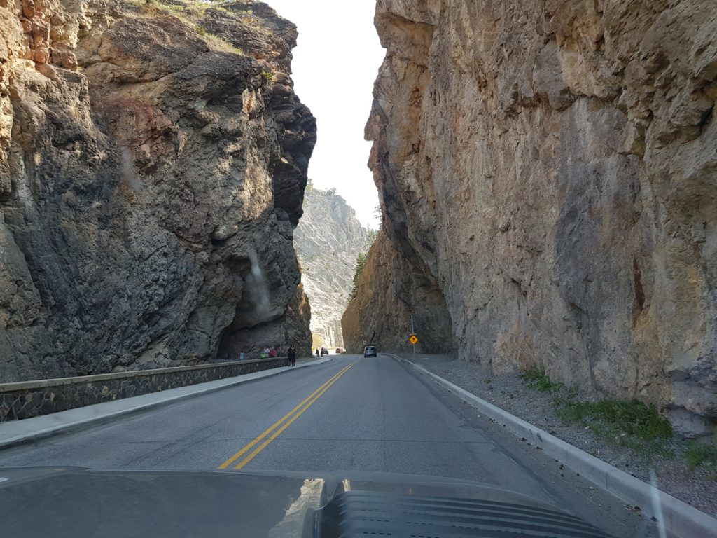
The shuttle back to Banff by road is simple. Highway 93, through Radium Springs/Sinclair Canyon to Castle Junction, Where the Trans-Canadian Highway heads south-east to Banff, along the Bow River. Splendid scenery all the way. Door to door service.
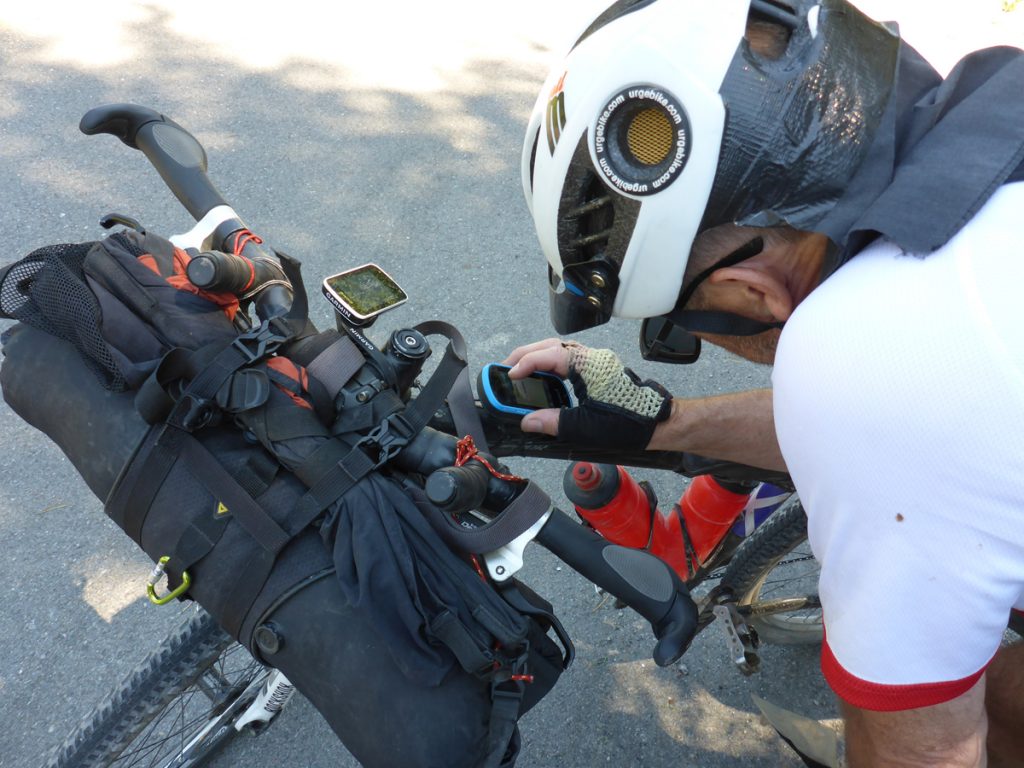
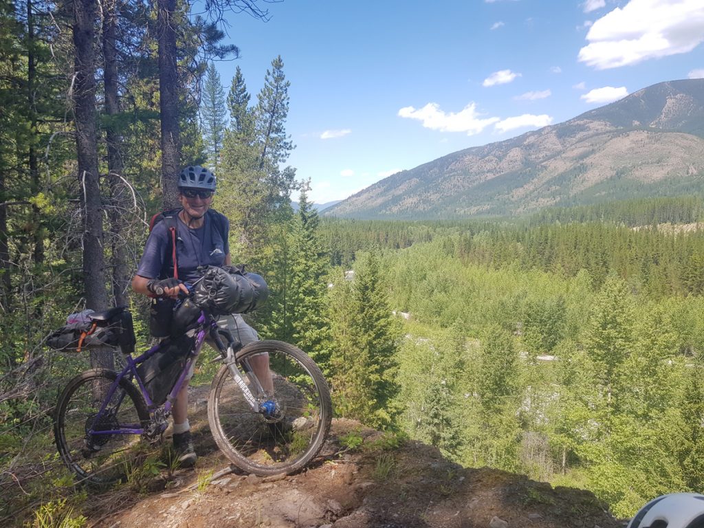
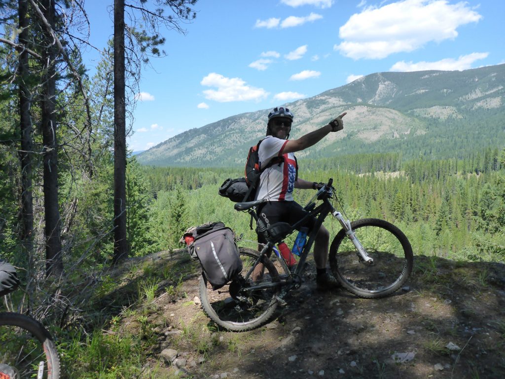
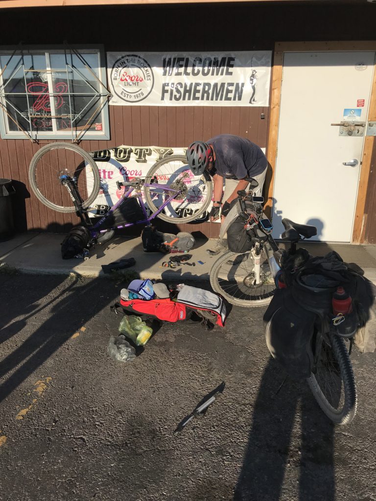
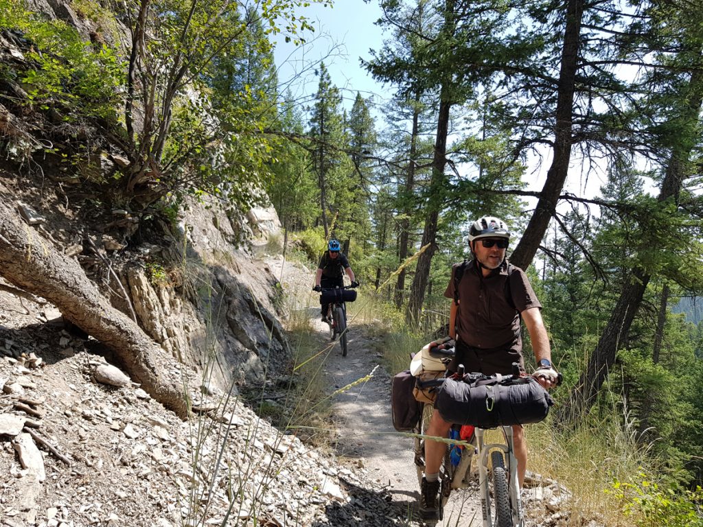
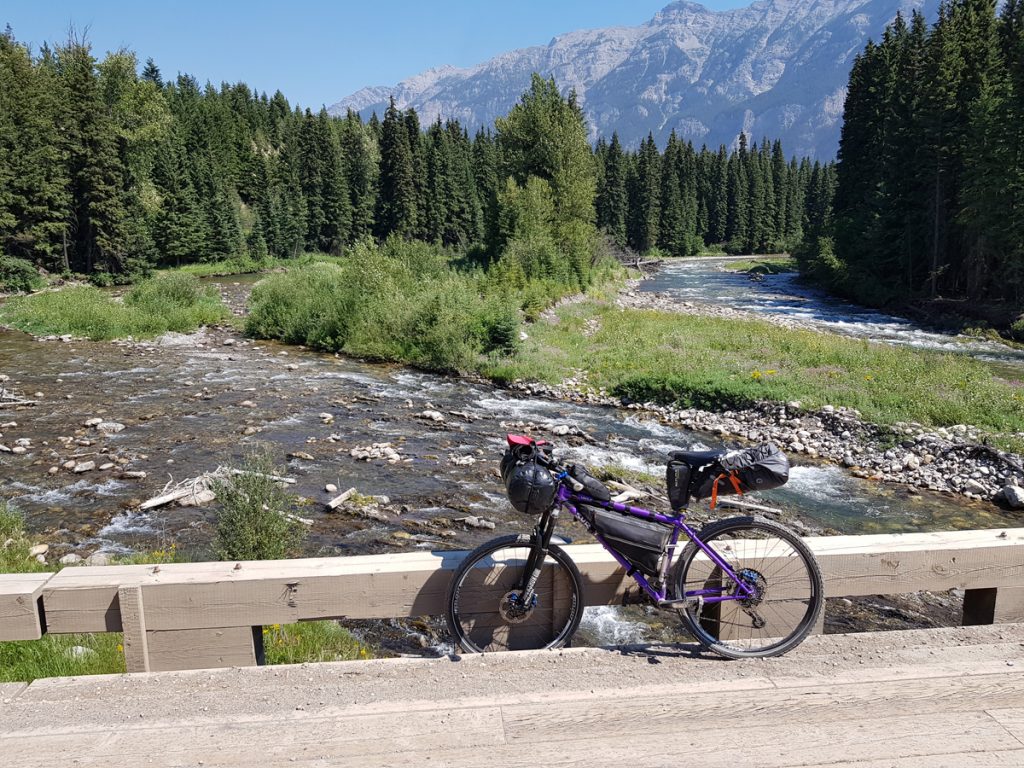
Links, kit and gear. All three of us used ‘hard-tail’ MTB’s. Mine is a Surly Karate Monkey I had the only puncture of the trip. Richard had tubeless tires. We traveled light, compared to other cyclists we met, being prepared to ‘eat-out’ whenever we were near a town. We all used handlebar roll-bags, of various makes. Dave had a rear pannier set up. Richard and I had seat-post bags and frame bags. Top tube bags offered extra space that is easily accessed. All three of us carried something on our back of varying sizes. I’ve since added a Salsa Combo to my front forks, in order to reduce the kit in my Evoc rucsac.
 By Alan Kimber on 13/03/2020